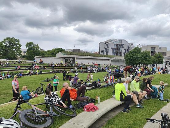
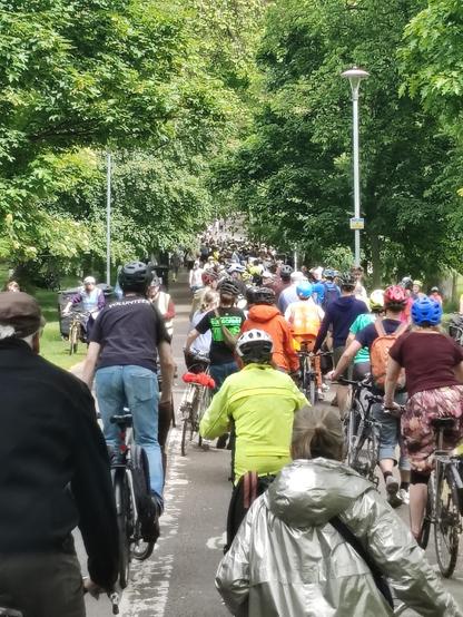
Big turnout for Pedal on Parliament. Seems a lot of people are unhappy with lack of good, safe, bike infrastructure in Edinburgh and Scotland. #pop26
I'll be giving a talk at the New Glasgow Society space at 1307 Argyle Street in Glasgow at 4pm on Saturday the 6th of June titled 'A Street Historian's Guide To Glasgow'. This is free, but tickets are limited to 30 places and should be booked in advance, which you can do here. https://www.eventbrite.com/e/a-street-historians-guide-to-glasgow-tickets-1990564330497.
Cont./
💥 70,000 signatures! 💥
...and the petition closes on June 8th.
Imagine if we can get it over 100,000 before then - and open a Parliamentary debate in time for the 10th anniversary of the Brexit vote on June 23rd 2026. That'd be powerful.
All hands to the pump! Sign and share, share, share! 👇
We believe Brexit's not working. The OBR judges that the UK economy is smaller and trade is weaker because of Brexit, and it will just get worse. 10 years after the Brexit vote, let's apply to rejoin the EU, reverse the damage, boost growth, increase tax revenues and restore opportunities in the UK
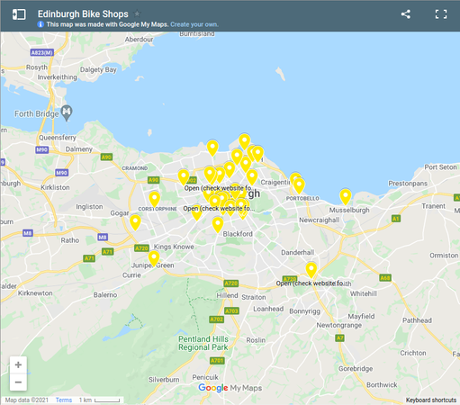
Edinburgh Bike Shops This map was first published as a response Covid-19 crisis, when people were looking to the bicycle as a means of transport and for exercise. So we thought it would be useful to have a map of all the bike shops in Edinburgh, and some information about whether they were open during…
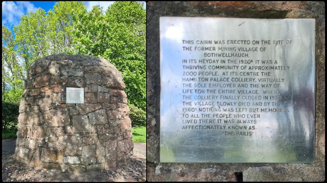
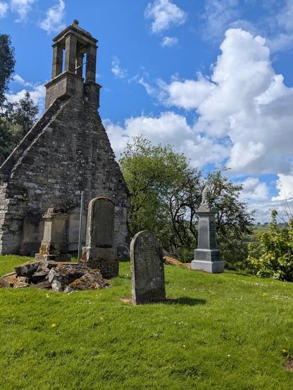
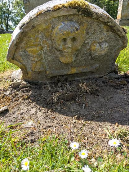
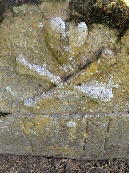
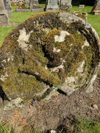
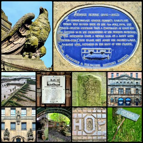
A monument to the lost Lanarkshire of Bothwellhaugh in Strathclyde Park to south of Glasgow. Known locally as The Pailis, the village created in the 1880s to house miners working in Hamilton Palace Colliery. At its peak, this mine produced over 2000 tonnes of coal a day, and the village was home to around 2000 people.
Cont./
#glasgow #lanarkshire #bothwellhaugh #localhistory #strathclydepark