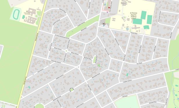
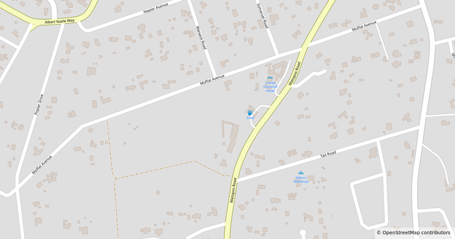
This is Mahatshula, or North Mahatshula. A large, newer suburb.
Location: https://www.openstreetmap.org/#map=16/-20.11250/28.63569

| pronous | he/him/any |
| tumblr | https://josephtjames.tumblr.com/ |
| youtube | https://www.youtube.com/channel/UCJZZ5W9afJxE44gwWUnTj8Q |
| Pixelfed | https://pixelfed.au/JosephTJames |
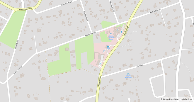
This is Mahatshula, or North Mahatshula. A large, newer suburb.
Location: https://www.openstreetmap.org/#map=16/-20.11250/28.63569
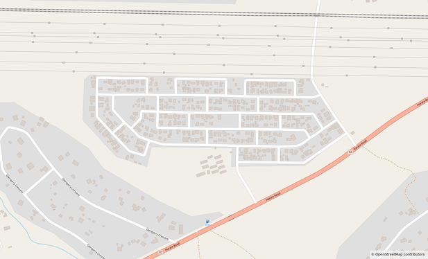
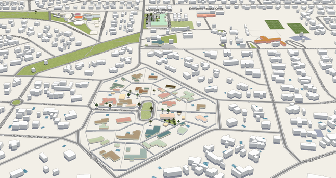
This is the Criterion Water Works and Lab, I used a YouTube video to learn the names of the buildings.
Location: https://www.openstreetmap.org/#map=18/-20.236318/28.606151
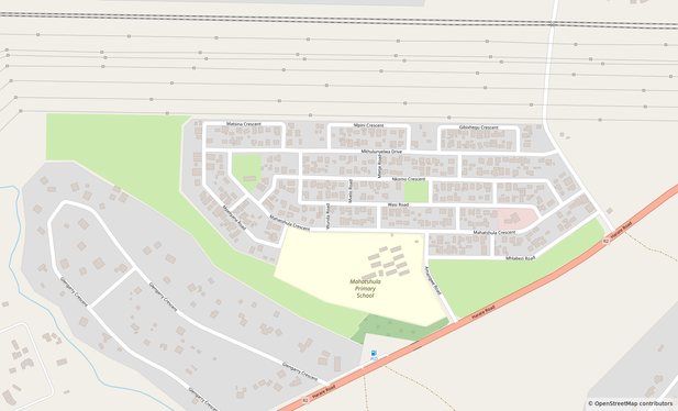
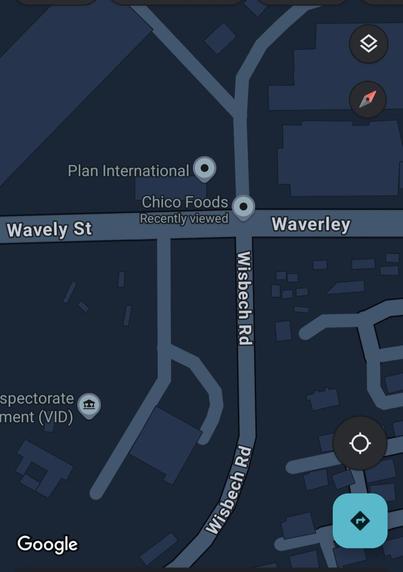
This is Emshlangeni, this suburb is younger than its surrounding suburbs. Lots of street names are "Something"-kazi Road.
Location: https://www.openstreetmap.org/#map=17/-20.127591/28.611531
#openStreetMap #osmZimbabwe #osmAfrica

When I first started mapping I was not that aware of the limitations of what can or should be mapped from satellite imagery
I mapped the private pools and backyard tennis courts of so many homes, doing that made me feel I was completing the map.
But now, I am feeling I should delete those data points for privacy reasons. I never asked those people if I could map their backyards, because I thought if I can see it I trace it.