I want to use QGIS to geo reference an image, then later edit the image in GNU IMP, but preserve the location tags.
Is this difficult? Do I need to save off the location data somehow?
I want to use QGIS to geo reference an image, then later edit the image in GNU IMP, but preserve the location tags.
Is this difficult? Do I need to save off the location data somehow?
@petes_bread_eqn_xls @cartocalypse @tlohde
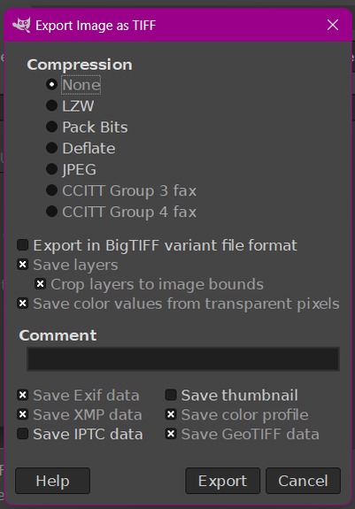
2.10.38 onwards works at least - look for 'save geotiff tags' in the export dialog to make sure the tags don't get stripped out and QGIS seems happy enough