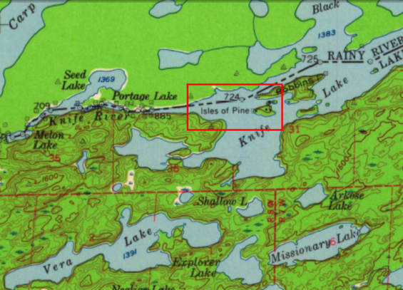
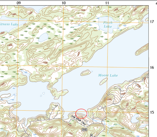
Did you guys know USGS has what must be their entire map database available on-line and downloadable, with a truly useful search engine? It's endless fun.
#ChunderRoad #Cartography #Maps
https://ngmdb.usgs.gov/topoview/viewer/#4/41.61/-102.61
Get Maps

Explore, interact, and download USGS topographic maps free of charge from topoView.

USGS Topoview
Back in '63 or so, we took a canoe-and-portage trip from Moose Lake, at the southern edge of the BWCA, to visit Dorothy Molter, a sweet old hermit who lived on an island in a canoe-only-access lake for 56 years. I used the USGS tool to find the map this cut came from; it mislabels "Isle of Pines," but still!
https://en.wikipedia.org/wiki/Dorothy_Molter
My grandfather's cabin (which, being an engineer, he more or less built himself, with a variety of subs) was about where the circle is on this 1:24,000. (Hard-core geolocationists can impute the location from the UTM coordinates in the collar.) It's outside BWCA, and probably still exists, as it was *extremely* well--constructed. Here he is beside the fieldstone fireplace and chimney.