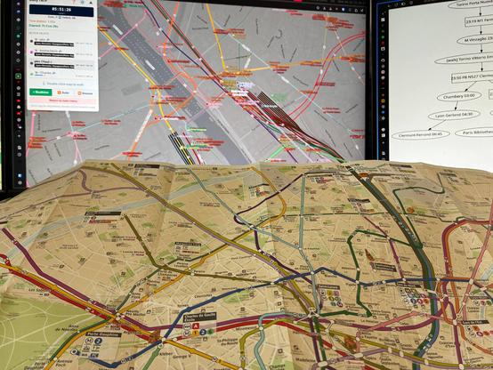
@ptrc For me the main reason to use
metromap.fr is how interchanges are shown: for various reasons some stations are divided into several areas with long walking distance between those areas. The best example is Montparnasse Bienvenüe: on one side there's metro lines 4 and 12 and on the other one lines 6 and 13. Those two areas are separated by approximately 400 meters, there's even a travelator. This important characteristics shows very badly on the official maps and is clearly visible on
metromap.fr.
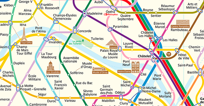
Random fun fact from the parisian metro: the station "Sèvres-Babylone" is named this way because a long time ago there was two different stations, "Sèvres" and "Babylone" owned and operated by two different companies. When all the companies were merged into a single one, those two stations were so closed they also got merged. Today there is a very subtle reference to this ancient times: in the station itself, the words "Sèvre" and "Babylone" are written in different font size depending on whether you are on the part that used to be "Sèvres" or "Babylone".
https://commons.wikimedia.org/wiki/File:Metro_de_Paris_-_Ligne_12_-_Sevres_-_Babylone_02.jpg?uselang=frhttps://commons.wikimedia.org/wiki/File:Metro_de_Paris_-_Ligne_10_-_Sevres_-_Babylone_04.jpg?uselang=frOh, and between stations "Sèvres-Babylone" and "Mabillon", there's a station that will not appear on maps: "Croix-Rouge". It was closed in 1939 when WW2 began and was never reopened since, mostly because it's very close to the other stations. Trains still go through this ghost station but never stop.