Ha ha ha ha
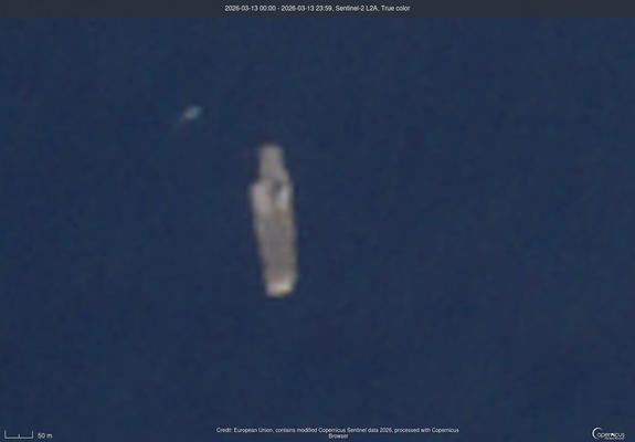
Mar 13, 2026 35.35072,30.25052
#RemoteImaging #OSINT
@driusan @ai6yr @unlambda You're not looking at the highest resolution satellite imagery available.
Say, like the imagery Trump leaked after Iran's test satellite launch blew up on the launch pad in 2019.
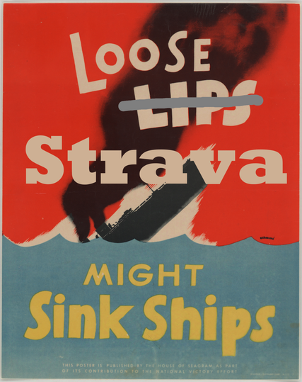
@ai6yr Can you superimpose an orange line "running" around the edges?
On the plus side, if he turns any of that activity into a segment it's going to be hard for anyone else to take the KOM.