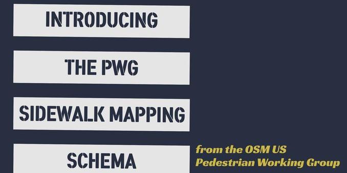
The Pedestrian Working Group has hit full stride (pun intended)! After two years of collaboration, iteration, and extensive discussions regarding crosswalks, the pedestrian working group is thrilled to announce the release of the PWG Sidewalk Mapping Schema, version 1.0!

Learn more 🔗 https://openstreetmap.us/news/2026/03/pwg-schema-release/

#OpenStreetMap #pedestrian #pedestriansafety #walkability

@OpenStreetMapUS

Thanks to the Pedestrian Working Group!

Any advice getting our city to share their high resolution aerial imagery with a provider that RapidEditor.org and/or JOSM can use?

@corvus @OpenStreetMapUS This repo/page is a good place to start. You'd need to ask the imagery be licensed in a way that is compatible for use with OSM, the imagery provided over a service compatible with editors, and finally that service added to the index so it shows up in editors.

https://github.com/osmlab/editor-layer-index/blob/gh-pages/FAQ.md

editor-layer-index/FAQ.md at gh-pages · osmlab/editor-layer-index

A unified layer index for OSM editors. Contribute to osmlab/editor-layer-index development by creating an account on GitHub.

GitHub