HomeExplore
Thomas WeibelMar 11

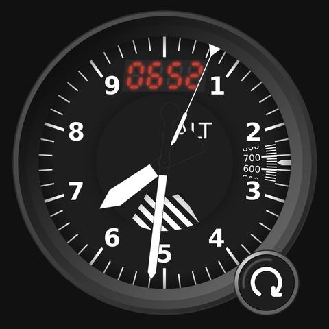
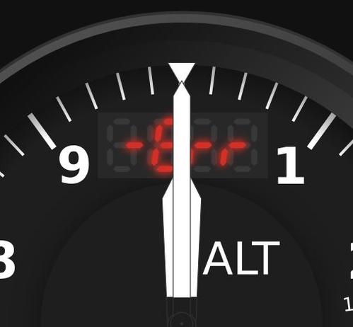
Measure your altitude above sea level—wherever you are. Altimeter 1.0 is out now.

https://www.thomasweibel.ch/alt/

#geography #gis #topography #opendata #ogd #geodata #webdev #webapp #html #javascript @spatialists @OpendataCH @geomob @clolsonus @JensWiesehahn @paulfoerster

Show threadHikerMar 11
@thomasweibel
Hmm, beim Mobilnetz gehts wohl nicht. @spatialists @OpendataCH @geomob @clolsonus @JensWiesehahn @paulfoerster
Show threadThomas WeibelMar 11
@hiker Nochmal probieren? Übers Mobilnetz müsste es gehen. @JensWiesehahn @geomob @spatialists @OpendataCH @clolsonus @paulfoerster
Show threadThomas WeibelMar 11
@hiker Und hast Du die Lokalisierung zugelassen? @JensWiesehahn @geomob @spatialists @OpendataCH @clolsonus @paulfoerster
Show threadHiker
@thomasweibel
Natürlich nicht :) @JensWiesehahn @geomob @spatialists @OpendataCH @clolsonus @paulfoerster
Mar 11 at 12:18pmWeb
Show threadHikerMar 11
@thomasweibel Mein Laptop hat keine Lokalisierung :-) @JensWiesehahn @OpendataCH @clolsonus @geomob @paulfoerster @spatialists