I've added altitude chart in APRSMap.
What do you think! Shell APRSMap virtualise data from special devices like the Ballon/Weather probe we see here?
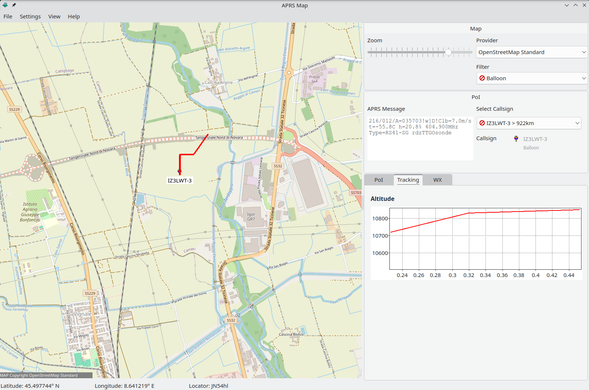
I've added altitude chart in APRSMap.
What do you think! Shell APRSMap virtualise data from special devices like the Ballon/Weather probe we see here?