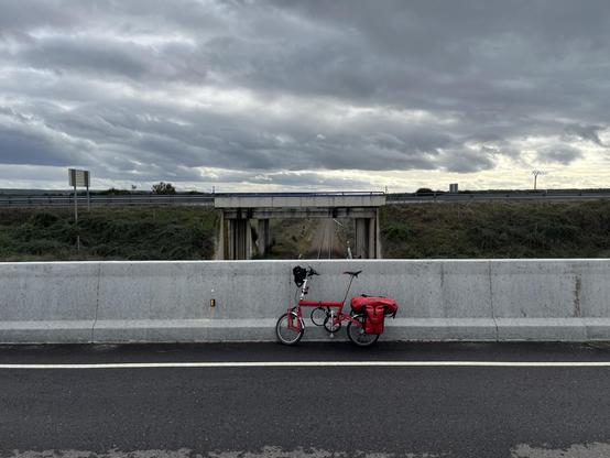
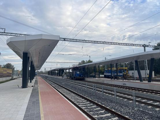
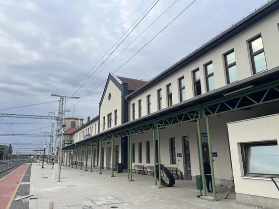
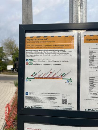
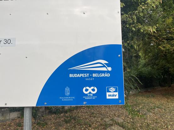
The 1920 Treaty of Trianon broke a lot of railway lines, and three of those former lines – now at the Hungary-Serbia border – are to be checked today. A long but flat cycle route will take me to the borders #CrossBorderRail
Kislunhalas. Like Kelebia yesterday the works are almost complete. #CrossBorderRail

#CrossBorderRail Conclusions Tour Bus 3 of 6
7807 KISKUN replacement bus
08:03 Kiskunhalas/vá. - Jánoshalma 08:33
MÁV

Bus type: MAN bendy bus
⛽️
🚲: ⛔️
🦽: ✅
🛜: ⛔️
🍽️: ⛔️
🧳: 🙂 (multi use spaces and overhead racks)
🧽: 🙂

Route of the vehicle: https://umap.openstreetmap.fr/en/map/crossborderrail-2025-conclusions-tour_1266988#12/46.3592/19.4671

This pulled up at my B&B earlier. It wasn’t for me 😀 #CrossBorderRail
Kiskunhalas 🇭🇺 is a very good cycling town. Lots of bike lanes. And a big bike park at the morning market. #CrossBorderRail

Places I’ve been on #CrossBorderRail with surprisingly good bike infra

Kiskunhalas 🇭🇺
Banja Luka 🇧🇦
Subotica 🇷🇸

These are not rich places. But there’s an old cycling history, and a little investment is basic infrastructure - and it works!

#CrossBorderRail Conclusions Tour Train 30 of 75
IR 7807
08:38 Jánoshalma - Bácsalmás 08:57
MÁV

Train type: Vagonka Studenka 117 Bzmot Railbus, 1 short carriage
⛽️
🚲: ❓(not officially but you’d manage)
🦽: ⛔️
🛜: ⛔️
🍽️: ⛔️
🧳: 😐 (high steps to get in, narrow doors)
🧽: 😐 (orderly, but it needs a good clean)

🎫 Interrail: 🙂 (accepted)

Pedal to the metal! 💨#CrossBorderRail

(This train type is meant to do max 80km/h)

IR 7807
08:38 Jánoshalma - Bácsalmás 08:57

Distance: 22.5km
Average speed: 71km/h

2 stops:
Mélykút
Bácsalmás

This train, mapped: https://umap.openstreetmap.fr/en/map/crossborderrail-2025-conclusions-tour_1266988#12/46.2214/19.3308

#CrossBorderRail

#CrossBorderRail 2025 Conclusions Tour

The #CrossBorderRail 2025 conclusions tour - mainly to go to events, but adding a few new borders too. Each day of the project is a Layer in the map - these should be displayed by default, or if not click the three layered diamonds icon "Open browser" to the left side of the map. The icons are all for borders, roughly coloured to differentiate the borders. A cross through a track means NO TRAINS CAN RUN. A cross through trains but not track means TRAINS CAN RUN BUT NO PASSENGER TRAINS. And TRAIN AND TRACK (no crosses) means there is a passenger service. All lines on the map are TRAINS, unless otherwise shown with icons along the lines - 🚲 for bike, 🚌 for bus, 🚗 for car, ⛴️ for ferry. Click each line to get basic information what it is.

uMap

I think this must be the most tightly timetabled train I’ve taken on #CrossBorderRail

The train’s max speed is 80km/h. We have one interim stop. And we *average* 71km/h.

@jon not necessarily! At short trips, the precision is quite low, around 5% in this case; even assuming that the distance is precise, you'd get 67.5 km/h for 20 minutes or 75 km/h for 18 minutes, so the actual speed must be somewhere in between. "71 km/h" gives a false sense of precision that isn't actually here.

And assuming that the distance is only precise to 500m, the actual average speed could be between 66 and 76.7 km/h.

This is not really a problem for longer journeys because there one has enough significant digits; but it is for short journeys as timetabled. A rule of thumb is that the error range for a product or fraction is roughly the sum of error ranges of the components.

@IngaLovinde thanks for the explanation, but it’s not the point really. Even if it’s 67km/h, it’s still very close to the limit of the train (80km/h).