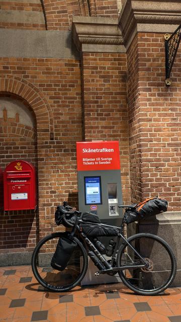
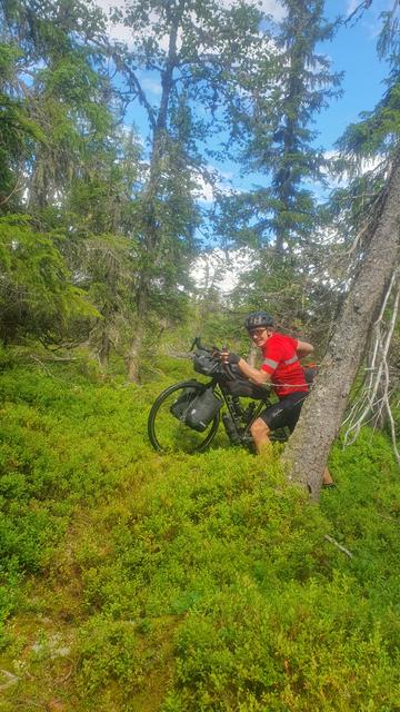
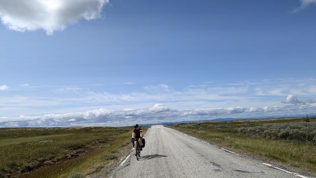
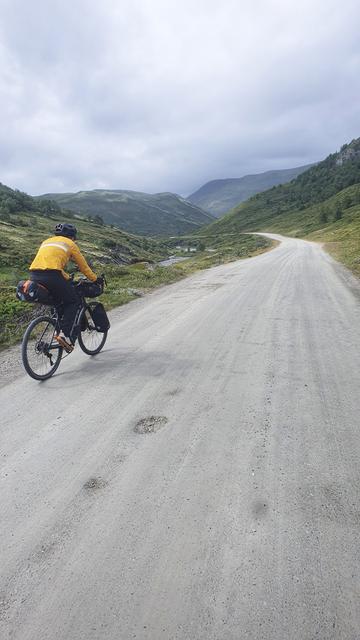
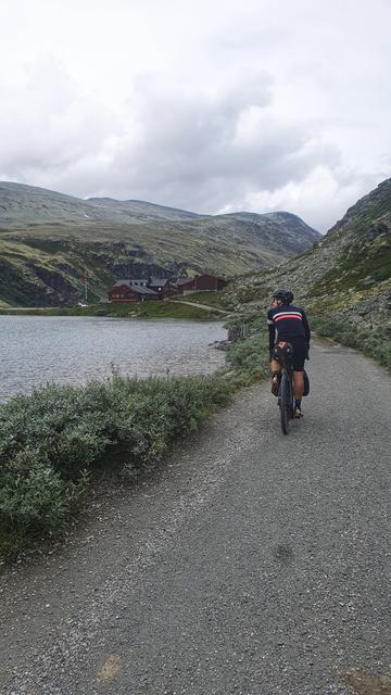
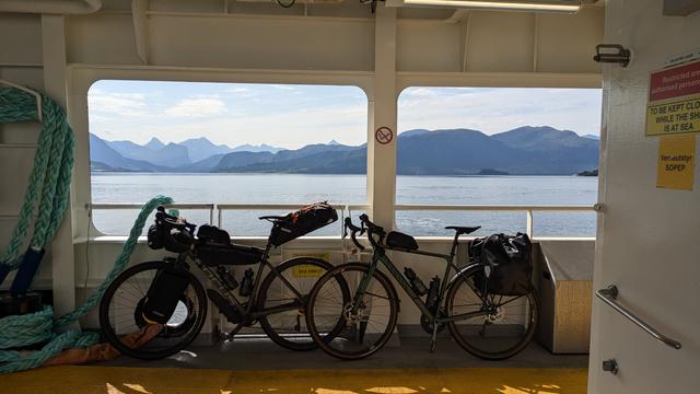
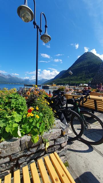
#bikepacking trip, day #1. Took the train from Copenhagen to Oslo, then cycled north and camped next to a lake for the night. 72km.
#bikepacking trip, day #2. The weather forecast was showing rain all day, but it eluded us until the afternoon - and we're grateful for that! We reached Norway's biggest lake, Mjøsa, and also its most expensive diving tower (unfortunately we didn't take a dip as it was pouring at the time). 97km.
#bikepacking trip, day #3. First day with good weather - sun and 20°C. We climbed to 800m above sea level, mostly on gravel and unpaved roads. But I made a route planning error and we ended up doing 2km of hike-a-bike through a forest, at least half of it being closer to a bog than a forest. The rain finally caught up with us in the evening, but by that time we had set up our tent somewhere along the Åsta river. 74km.
#bikepacking trip, day #4. We originally planned to stay at around 900m altitude, but the rainy weather and the fact that we ran out of gas (which meant no proper meals on the original route almost the entire day) made us decide to head towards a nearby valley and set up the tent there. 68km.
#bikepacking trip, day #5. A beautiful sunny day with no rain, so we decided to cross one of the mountain passes. The approximately 1000m ascend was tough, but the landscape at the top and the following descent made it all worth it. Having solved the gas situation, we had a nice warm dinner on the shore of the Atna river and set up the tent in the forest. 81km.
#bikepacking trip, day #6. Another day in the mountains, this time overcast with some light rain towards the very end. We continued along the Atna river and then crossed another mountain pass to arrive in the valley that we left two days ago. We encountered a German bikepacker, somewhere in his sixties, that left Germany in May and was cycling in the Nordics ever since. 100km.
#bikepacking trip, day #7. Despite the fact that the weather forecast was showing a thunderstorm in the afternoon, we decided to attempt to reach one of the DNT cabins in the Rondane National Park. The ascent was tough - over 900m, most of them on unpaved and gravel roads. But the beer in the coziness of the hut, after we installed the tent at 1200m besides the lake, was worth it all. 52km.
#bikepacking trip, day #8. We took a chill morning and left the lake relatively late. After lunch down in the valley we began following the Otta river upstream. 88km.
#bikepacking trip, day #9. We kept following the Otta river upstream until Grotli. The traffic on this section was a bit more intense than what we got used to on this trip so far, but manageable. From Grotli we took an old mountain road up to 1200m where we camped for the night. 73km.
#cycling #norway
#bikepacking trip, day #10. We left the mountain road and headed towards Geiranger. The contrast between the relatively remote and quiet place where we spent the night and the crowds of tourists there could not have been greater. We continued a bit and camped before Eidsdal. 66km.
#cycling #norway
#bikepacking trip, day #11. We took the ferry from Eidsdal across the fjord, which we then followed westwards (across several tunnels) until the reached Ålesund. 100km.
#cycling #norway #ålesund
#bikepacking trip, day #12. We took a lazy morning and only started cycling in the afternoon. After hanging around in Ålesund for a bit we hopped on Eurovelo 1 (the Atlantic Coast Route), heading north. It's a relief to take a break from steep and long climbs but still enjoy stunning landscapes. 61km.
#cycling #norway #ålesund #eurovelo
#bikepacking trip, day #13. The most summery day so far, we took a dip in the fjord in the afternoon and another one after we installed the tent for the night. We passed through Molde and are camping close to Bolsøy. 67km.
#cycling #norway
#bikepacking trip, day #14. Another chill morning with breakfast by the fjord and a morning dip. We turned southwards and cycled the last kilometres to our final destination - Åndalsnes. After installing the tent in a camping place we hiked to a nearby mountain for a "we made it" beer at 708 meters above sea level. 51km.
#cycling #norway #åndalsnes #litago
#bikepacking trip, day #15. We knew Trollstigen was closed, but we couldn't resist cycling until the road barrier to take a peek. I had to do some small adjustments to the front brake, as one of the pistons got a bit stuck and the brake pad was slightly rubbing on the disc. 28km.
#cycling #norway #åndalsnes #trollstigen
#bikepacking trip, day #16. It was time to say goodbye to the west coast - we took a final dip and boarded the train to Oslo. My bad experience with Deutsche Bahn made me reluctant to rely on a 15 minute train switch window in Dombås, so we took a later train and chilled there for two hours. 6km.
#cycling #norway #åndalsnes #dombås #oslo #DeutscheBahn
#bikepacking trip, day #17. We cycled a bit around Oslo, stopping on the way to our favourite bakery (Håndbakt) and @ruari's favourite spot - the top of the Opera House. We then boarded the ferry to Copenhagen. 16km.
#cycling #norway #oslo
#bikepacking trip, day #18. We left the ferry and went home, stopping to one of our favourite bakeries on the way. 7km.
#cycling #norway #oslo #denmark #copenhagen #københavn

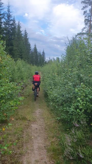
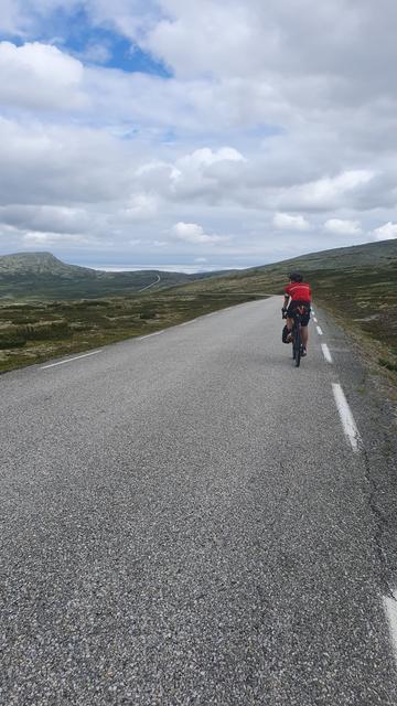
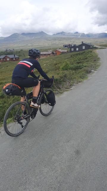
In total we cycled 1100km over 14 full days of cycling, with 13500m of uphill.

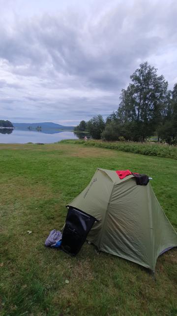
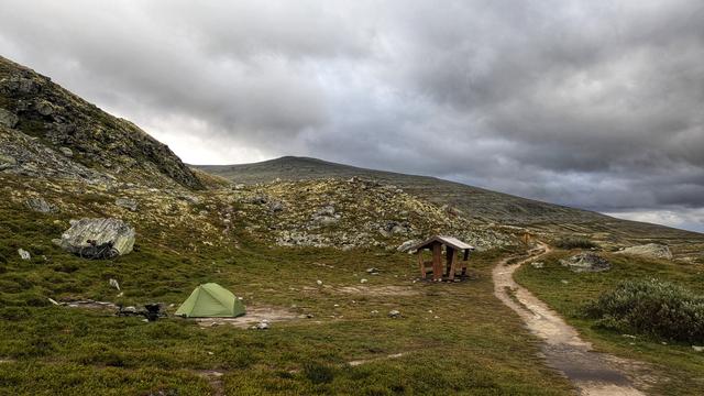
Spent six nights in camping places, six wild-camping and four in hotels (one due to rain and the others for spending more time in the cities).

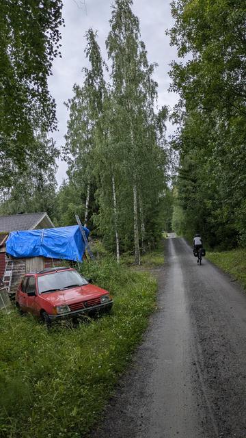
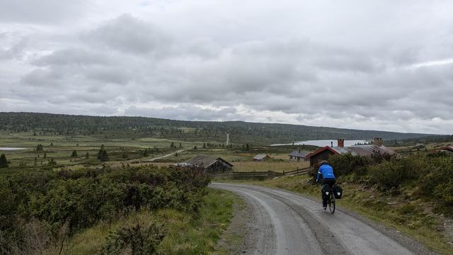
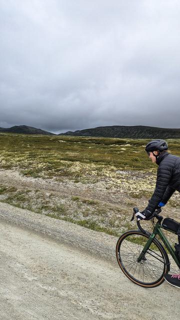
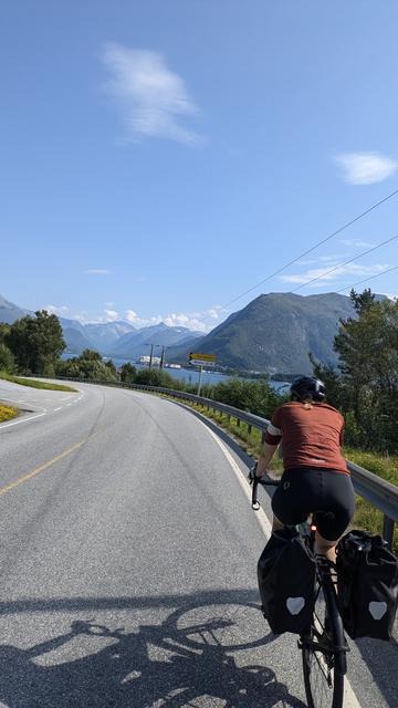
The weather turned out much better than last year, including some truly summer days towards the end.

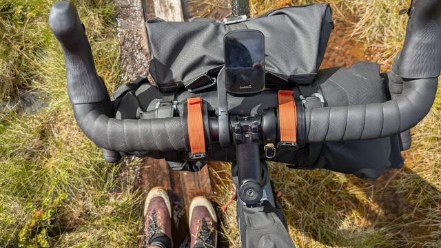
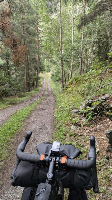
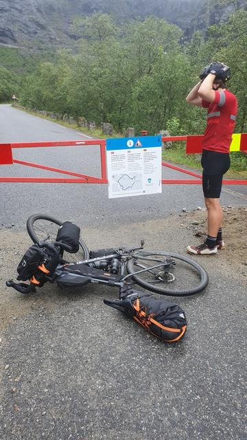
On the technical side things also went great - no punctures or mechanical issues.

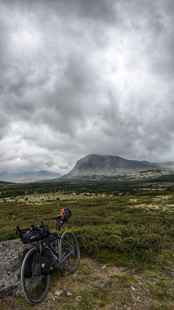
Looking forward to returning to Norway 😀

@mastobikes #bikepacking #cycling #norway

@sorin @mastobikes Studying the map in the first picture: where did you cross back over from Atndalen to Gudbrandsdalen?

Was it past #grimsdalshytta on the southern part of "Tour de Dovre"?

https://ut.no/tur/114323501/tour-de-dovre-sykkeltur-rundt-dovre-nasjonalpark/kart#10.57/62.0239/9.3642

UT.no - Hele Norges turplanlegger

På UT.no finner du merkede ruter, turforslag, hytter og turmål over hele landet - på fjellet, i skogen og ved sjøen. Bli inspirert, planlegg og dra på tur!

@steinarb Yes, we took Grimsdalsvegen, though we didn't stop at the hut.
@sorin nice thread, thanks for sharing! :-)
Now I want to go there, as well.
@sorin you saw the jump red bull have setup. Would you!? 🤣
@ruari Next time I'm in Oslo 😀
@sorin do you know, why it was closed?
And is it maybe only closed for cars, but bikes could pass, maybe with some obstacles?
@x_tof Officially it was closed for everyone due to rockfalls. Although I've found at least one blog that said now it's the best time to cycle there, due to the lack of traffic, so some people still go 🙂 It should reopen next year.

@sorin Eurovelo 1 was a new concept.

I had to google: interesting
https://en.eurovelo.com/ev1/land-of-the-midnight-sun

Route 17 in Nordland, which is part of it is great!

But it has at least one really ugly, long, wet, narrow and dark tunnel: Svartistunnellen (goes under the glacier named Svartisen)

Also Atlanterhavsvegen has a very steep and deep underseas tunnel from Averøya to Kristiansund.

Atlantic Coast Cycle Route - EuroVelo 1: Land of the Midnight Sun

Discover some of the 14 amazing UNESCO-listed sites along the Atlantic Coast cycle route

EuroVelo

@sorin Norway's Venezia. 🙂

Has a nice aquarium for such a small town.

Nice view from Aksla. Possible to bicycle up there (I've driven a car up there), but pretty steep.

@steinarb We cycled to the top of Aksla, it was quite a way to start the day 😄
@sorin
This trip looks so fun, thanks for all the beautiful photos!
Gamle Strynefjellsvegen

The old roadway between east and west is a museum experience in itself. It is a historic alternative to the new trunk road across Strynefjellet Mountain.

Nasjonale turistveger
Nasjonal turistveg Gamle Strynefjellsvegen

Fylkesvei 258 eller Nasjonal turistvei Gamle Strynefjellsvegen går mellom Grotli i Skjåk og Ospeli bru i Stryn. Vegen sto ferdig i 1894 og ble opprettholdt etter at den nye Strynefjellsvegen opna i 1977.

@steinarb Yes, that one! Next time maybe we'll get to ride the other half as well.
@sorin Here you have the possibility to take a less trafficked road on the other side of the river and lake from route 15 (on the south side from Otta to Vågåmo and then on the north side from Vågåmo to Lom)
@steinarb We did that as much as possible, including in this section, though often it involves some additional climbing 😄

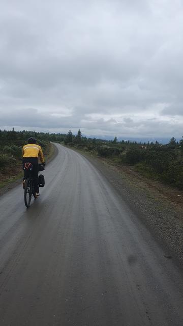
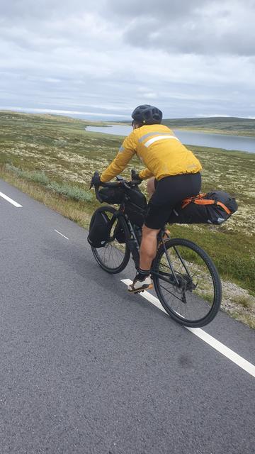
@sorin If not on purpose, the sattle of the person in yellow is way too far up. You should be able to touch your pedal with your heel when your leg is stretched, so you do not have to stretch it at all when you use the front of your foot.

Nice trip though, enjoy! 😍

@sorin Atndalen! Pretty! Check out the hashtags #rondane #atndal #folldal