day 15 - OpenStreetMap: Back to the beginning
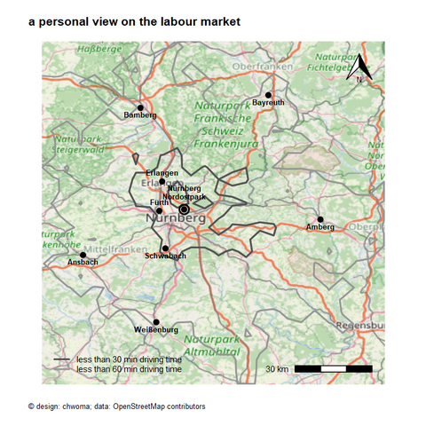
I revised my personal view on the labour market (day 1 - day 3). I wanted to use an existing map as background. I did this using the R-package maptiles: https://CRAN.R-project.org/package=maptiles.
I haven't yet understood all the features of this great package. And I wonder whether there are other possibilities in R (e.g. GeoTIFF) to use an existing map as a background layer for one's own map making?