Anyone know how to extract road width data from open access remote sensing data? This repo shows it's doable for rivers https://github.com/seanyx/RivWidthCloudPaper and methods should be x-transferable 🙏 Tagging #EarthEngine and #gischat people in the know!
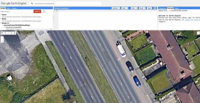
GitHub - seanyx/RivWidthCloudPaper: A Google Earth Engine based algorithm that extracts river centerlines and widths from satellite images

A Google Earth Engine based algorithm that extracts river centerlines and widths from satellite images - GitHub - seanyx/RivWidthCloudPaper: A Google Earth Engine based algorithm that extracts rive...

GitHub
There is substantial prior art here but unfortunately not much in the way of reproducible code with open access data. Example from @DLR_en: https://www.dlr.de/eoc/en/desktopdefault.aspx/tabid-12760/22294_read-58694/ + cc @CarlinoDustin for #abstreet-esque city sim.
DLR - Earth Observation Center - DLR-SkyScapes: Aerial Semantic Segmentation Dataset for HD-mapping

High-Definition(HD) mapping is in many applications from autonomous driving to infrastructure monitoring, and urban management essential for the understanding of complex urban infrastructure with centimeter-level accuracy. Aerial images provide valuable information over a large area instantaneously; nevertheless, no current dataset captures the complexity of aerial scenes at the level of granularity required by real-world applications. To address this, we introduce SkyScapes, an aerial image dataset with highly-accurate, fine-grained annotations for pixel-level semantic labeling.

And for parallel discussion on the #FOSS todon, possibly more appropiate place to discuss this, see here: https://fosstodon.org/@robinlovelace/109597800326363022 amazing growth of that online community 🚀
Robin Lovelace (@[email protected])

Attached: 1 image Aerial/satellite imagery from Google and other providers is now good enough to allow estimation of road widths. Anyone with Google Earth Engine experience up for helping to figure our how? Existing codebase for rivers: https://github.com/seanyx/RivWidthCloudPaper #geo #geocomputation #geocompx

Fosstodon
I suspect in many places the limiting factor will be high resolution imagery. Not in Switzerland where they understand the value unlocked by opening up key geographic datasets 🇨🇭
---
RT @robinlovelace
Massive credit to the people in Switzerland who made this aerial imagery open access and freely available to all for research, innovation + more 🚀 See it on Google Earth Engine at https://developers.google.com/earth-engine/datasets/cat…
https://twitter.com/robinlovelace/status/1608539388513816576
@robinlovelace The same in 🇵🇱 . :). All modern geo- datasets are open. But still wondering if there is a reasonable way to do it from ortho.
@gsapijaszko do you have road width data?
@robinlovelace If you are asking about public data, then yes: BDOT10k (The Topographic Objects Database) https://www.geoportal.gov.pl/dane/baza-danych-obiektow-topograficznych-bdot has the attribute pavement width (szerNawierzchni) in meters like in the picture.
Geoportal.gov.pl

@robinlovelace And, to be honest, 10-14 years ago we (as #OSM community in Poland) were struggling with access to data. We created a semi-automatic way to scrape official webpages to get the addresses or even vectorised hi-res WMS for buildings. Since ~ 5 years most of the county and country level produced geospatial data became public. You can get topo, ortho, las and whatever you want in quite hi-resolution.
@gsapijaszko fantastic thank you. One more question: can you point me towards ortho imagery? Cc @nowosad and anyone else who wants to collaborate on this, could be a great training dataset.
@robinlovelace @gsapijaszko Heya Robin -- everything can be downloaded with {rgugik} -- https://kadyb.github.io/rgugik/.
Search and Retrieve Spatial Data from GUGiK

Automatic open data acquisition from resources of Polish Head Office of Geodesy and Cartography (Główny Urząd Geodezji i Kartografii) (<https://www.gov.pl/web/gugik>). Available datasets include various types of numeric, raster and vector data, such as orthophotomaps, digital elevation models (digital terrain models, digital surface model, point clouds), state register of borders, spatial databases, geometries of cadastral parcels, 3D models of buildings, and more. It is also possible to geocode addresses or objects using the geocodePL_get() function.

@nowosad @gsapijaszko Amazing thank you. Mind if I badger you for assistance when I inevitably get stuck?
Example how to download orthophotos and topo data from GUGiK

Example how to download orthophotos and topo data from GUGiK - gugik.R

Gist