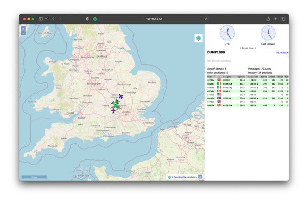
Translations:English (UK)EspañolFlight tracking is an accessible and useful tool for open source investigators. Being able to track the movements of aircraft belonging to powerful individuals and armed forces can add important details to stories, or even uncover entire new narratives. There are several commercial and hobby websites that allow us to do just that. The […]
@aallan @elonjet @Raspberry_Pi
It's a fun hobby. This was the data in my backyard near CYYZ when Covid hit in March 2020. Most flights going out east passed over my house at 5,000 feet.
Then, then didn't.
Now we've moved. I'm just due west of ROKTO out back and the approach to CYKF when my renos are done will be putting in two more.
@aallan @elonjet @Raspberry_Pi
I've got a big maple tree blocking the approach to ROKTO. I don't think the neighbors will let me take it down.
My ones at my chalet have line of site to the north over Lake Huron/Georgian Bay and if I can get the antennae high enough, get amazing stuff going into DTW, MSP, ORD
Attached: 1 video #30DayMapChallenge Day 23 - Movement A day of ship movements in Bournemouth Bay and Poole Harbour. AIS data captured with #raspberrypi dAIShat receiver and supplemented with #AISHub. Streetlights generated from #OSM road network data. It’s been a background project for most of the year… #SoundOn Made with #Blender #QGIS #python #javascript #gis #dataviz
Build a network ADS-B and MLAT (Mode S) receiver in two hours for USD$100 / EUR€80. Step-by-step instructions along with a link to your statistics and how to register for a free FlightAware Enterprise account.