HomeExplore
narrowbotrJan 18, 2025

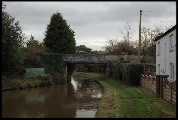
📍: Bridge 182, Mort's Bridge
ℹ️: track bridge
🗺: https://www.openstreetmap.org/?mlat=53.2457148408844&mlon=-2.47762579083404#map=17/53.2457148408844/-2.47762579083404
📸: Photo by Paul of Congleton on Flickr https://www.flickr.com/photos/33493932@N00/11461700954

#canal #narrowboat #england #uk #flickr #bridge #november #sky #reflection #water #digital #cheshire #sony #diary #towpath #northwich #trentandmersey #2013 #rx100 #rudheath #highershurlach #orchardmarina

OpenStreetMap

OpenStreetMap is a map of the world, created by people like you and free to use under an open license.

OpenStreetMap
narrowbotrSep 12, 2024

📍: Sluice, Gad Brook
ℹ️: sluice
🗺: https://www.openstreetmap.org/?mlat=53.2447953987397&mlon=-2.47729629154874#map=17/53.2447953987397/-2.47729629154874
📸: Photo by Paul of Congleton on Flickr https://www.flickr.com/photos/33493932@N00/11461700954

#canal #river #narrowboat #barge #gongoozler #england #uk #flickr #bridge #november #sky #reflection #water #digital #cheshire #sony #diary #towpath #northwich #trentandmersey #2013 #rx100 #rudheath #highershurlach #orchardmarina

OpenStreetMap

OpenStreetMap is a map of the world, created by people like you and free to use under an open license.

OpenStreetMap

Trends:

  • AnimalsSuperPowers231
  • みんなのアカウント名の由来教えて64
  • SilentSunday64
  • 引用で好きって言ってほしいなぁなんて56
  • 住んでる県がバレるノート44
  • nintendodirect32
  • worldoceansday53
  • PhotoMonday32
  • ら行で出てきたものが次の日消える43
  • Fotomontag40