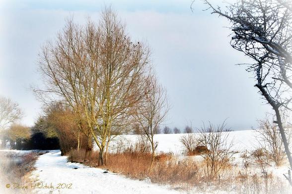
📍: Fixed Weir 12 2m NE of Bridge 30
ℹ️: weir
🗺: https://www.openstreetmap.org/?mlat=51.802809044416&mlon=0.151014504951857#map=17/51.802809044416/0.151014504951857
📸: Photo by Dave Hilditch Photography on Flickr https://www.flickr.com/photos/22775126@N00/6920825509
#canal #narrowboat #england #uk #flickr #winter #snow #landscapes #rivers #essex #shining #tistheseason #riverstort #sawbridgeworth #coth #stort #abigfave #kunstplatzlinternational #paololivornosfriends #coth5 #fleursetpaysages