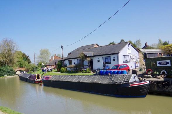
📍: Dry Dock, Hillmorton Yard
ℹ️: dry dock
🗺: https://www.openstreetmap.org/?mlat=52.3664045837475&mlon=-1.21074188182817#map=17/52.3664045837475/-1.21074188182817
📸: Photo by Dave Hamster on Flickr https://www.flickr.com/photos/14265068@N00/33280271614
#canal #narrowboat #england #uk #flickr #hillmorton #rugby #warwickshire #oxfordcanal #waterway #workingnarrowboatbatsey #buttyangel #workingnarrowboat #batsey #butty #angel #boat #motorboat #guccc