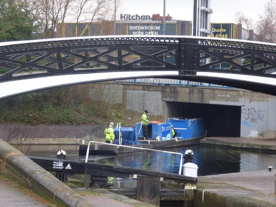
📍: Roving Bridge, Aston Junction
ℹ️: towpath bridge
🗺: https://www.openstreetmap.org/?mlat=52.4903078774514&mlon=-1.88843447813369#map=17/52.4903078774514/-1.88843447813369
📸: Photo by ell brown on Flickr https://www.flickr.com/photos/39415781@N06/46652444592
#canal #narrowboat #england #uk #flickr #birminghamfazeleycanal #canals #birmingham #westmidlands #unitedkingdom #greatbritain #corporationst #astonjunction #digbethbranchcanal #millst #no1astonlock #tree #trees #canalrivertrust