Vertical exaggeration (Cartography 🗺️)

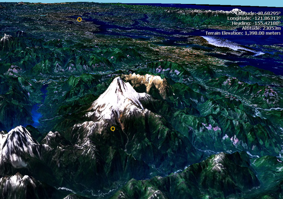
Vertical exaggeration is a scale that is used in raised-relief maps, plans and technical drawings, in order to emphasize vertical features, which might be too small to identify relative to the horizontal scale.

https://en.wikipedia.org/wiki/Vertical_exaggeration

#VerticalExaggeration #Cartography #DescriptiveGeometry #TopographyTechniques

Bathymetry (Cartography 🗺️)

Bathymetry 'deep' and μέτρον 'measure') is the study of underwater depth of ocean floors, lake floors, or river floors. In other words, bathymetry is the underwater equivalent to hypsometry or topography. The first recorded evidence of water depth measurements are from Ancient Egypt over 3000 years ago. Bathymetric charts, are typically produced t...

https://en.wikipedia.org/wiki/Bathymetry

#Bathymetry #Cartography #Oceanography #Geomorphology #TopographyTechniques

Bathymetry - Wikipedia