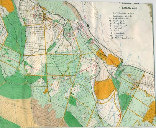
Eastern part of the Beaudesert #JK map from 1981. #CannockChase #Orienteering #Maps #OldOrienteeringMap
Bishop's Wood 1981. This Staffordshire pine wood contains the remains of an old glass factory. It was used a lot between 1976 and 1986 but has long been missing from the fixture lists. #OldOrienteeringMap #Orienteering #Map #WrekinOrienteers This was my last ever run in the #JK.

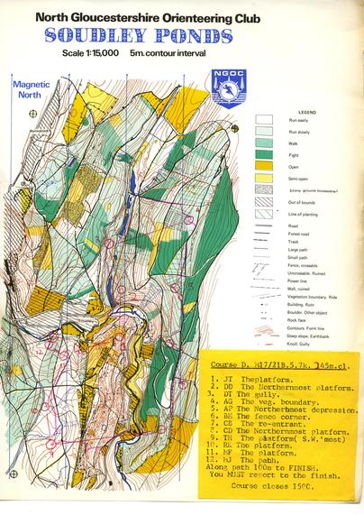
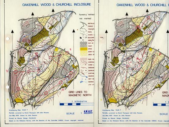
Oakenhill and Churchill 1973. A very old map to encounter in 1978. Infamous for several mistakes with the scale - the 1:16666 was not the only one. #NGOC #OldOrienteeringMap #OMap #ForestOfDean
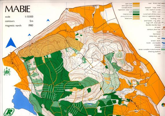
Occasionally appears at the western end of a Danby Lodge map
www.ngoc.routegadget.co.uk/rg2/#53

https://www.geograph.org.uk/photo/6704293

Track in the forest

Geograph

The one Peter Gabriel did not write a song about......

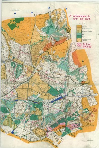
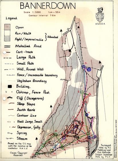
Bannerdown 1976. #KingswoodSchool are big on #orienteering and I can remember them running coaches to events. Lots of Letratone on this one.
I have not seen any recent maps of the area. #OldOrienteeringMap #OMap #CotswoldHills

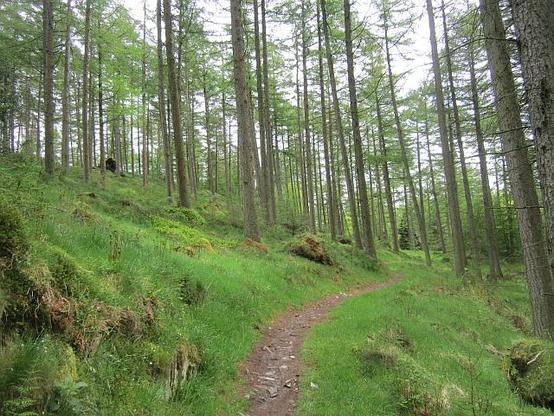
www.geograph.org.uk/photo/329260

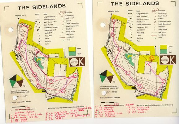
Sidelands 1977. Has appeared on Routegadget about 10 years ago as a small part of the Tyntesfield map

www.bok.routegadget.co.uk/rg2/#100

Postage stamp maps were not so common then.
#OldOrienteeringMap #OMap #BristolOK
www.geograph.org.uk/photo/2597669

Soudley Ponds 1977. The original event was cancelled after a very heavy snowfall (I was snowed in in Somerset for 4 days). No boar then. #ForestOfDean #NGOC #OldOrienteeringMap #OMap
www.geograph.org.uk/photo/3029114
www.ngoc.routegadget.co.uk/rg2/#186
Strines 1978. A very fine runnable forest used for the #JK relay. Now the western part has been turned into moorland and the area has long since disappeared from fixture lists.
This race was in snow.
www.geograph.org.uk/photo/171070
#OldOrienteeringMap #OMap #SYO #Orienteering
Creag Liath #Inverness 1993, Stirling Surveys. A map from the end of the scribing era with the computers ready to take over. Now much more of the forest is mapped.
#OldOrienteeringMap #Omap #INVOC

Glenmore early 1980s. D Richie. A simplified orienteering map for a non technical walk round tracks. The white has been replaced by green, but yellow is still used for open. Unusual 2.5m contours for an upland forest. #GlenmoreLodge is in the middle of the map.

#OldOrienteeringMap