Disappointed to see @googlemaps displaying dashed lines over Guyana’s internationally recognized borders. The entire map, including Essequibo and Tigri, is Guyana. There is no room for ambiguity. Fix it. 🇬🇾
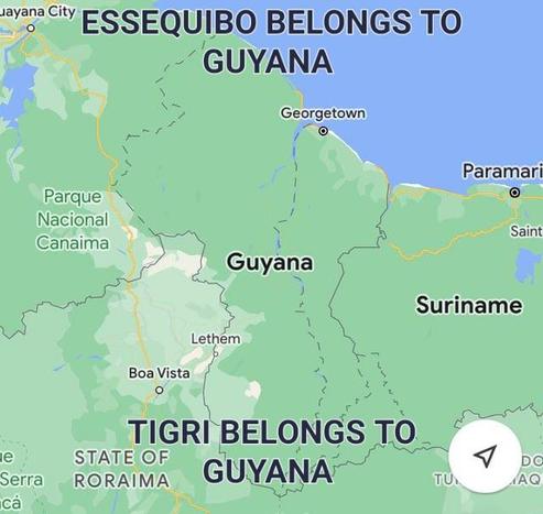
Disappointed to see @googlemaps displaying dashed lines over Guyana’s internationally recognized borders. The entire map, including Essequibo and Tigri, is Guyana. There is no room for ambiguity. Fix it. 🇬🇾
Using any map of Guyana that omits or alters our internationally recognized borders, including the Essequibo region, is misleading and unlawful.
Guyana's territorial integrity is protected by international law and backed by the 1899 Arbitral Award. Every km², is ours. #MiMapa #Venezuela #Esequibo #Essequibo #Guyana #EssequiboIsOurs #EssequiboIsGuyana #esequiboesvzla #EsequiboEsVenezolano
Never mind who Venezuela's leaders, their narrative will be the same because they were brainwashed since they were babies.
In any case, whomever leads Venezuela now or in the future, Essequibo is and always will be Guyana's


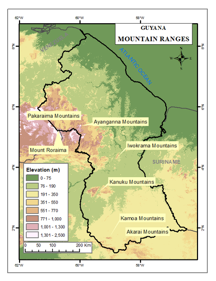
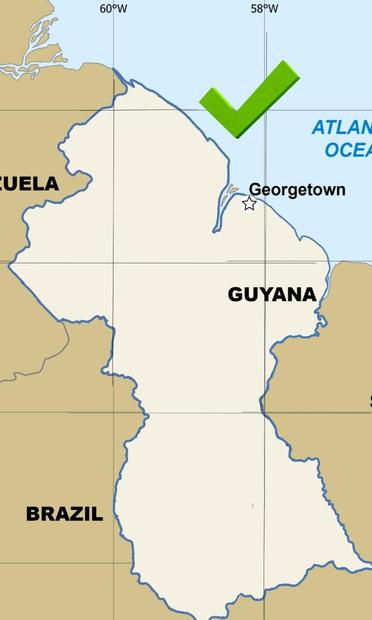
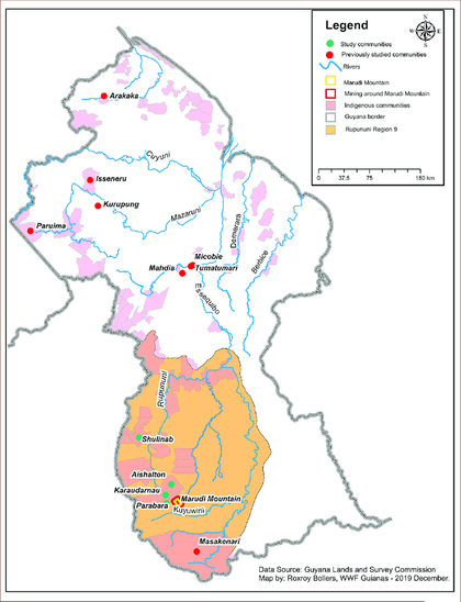
Indigenous voices. Sacred lands. Rivers of life.
This map tells the true story of southern Guyana, from Marudi Mountain to Masakenari, rich in heritage, community, and rightful sovereignty.
Every inch is Guyanese.

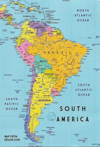
Presentamos la Traducción de #MiMapa de los MAPAS DE LA REGIÓN ORINOCO- ESEQUIBO recopilado por la comisión designada por el Presidente de EE.UU "para investigar y reportar de acuerdo a la verdadera línea divisoria entre Venezuela y la guayana británica"
files.fm/f/4yjyh366e

Presentamos la Traducción de #MiMapa de los MAPAS DE LA REGIÓN ORINOCO- ESEQUIBO recopilado por la comisión designada por el Presidente de EE.UU "para investigar y reportar de acuerdo a la verdadera línea divisoria entre Venezuela y la guayana británica" https://t.co/xnKzTSIBxS
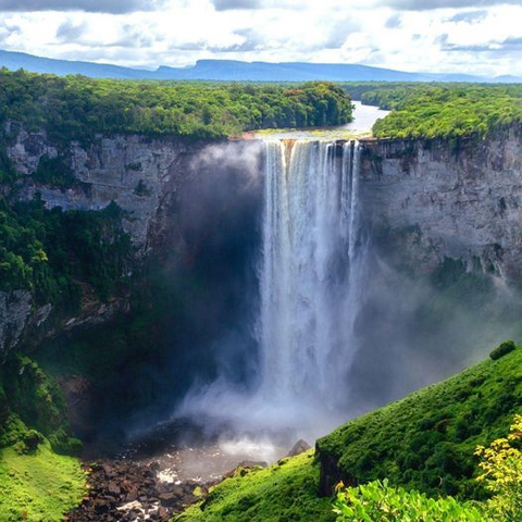
Kaieteur o Kayuv-Tuwuc #10Ene
Las cataratas tienen 226 m de altura y se precipitan desde una enorme meseta de arenisca, que termina en una elegante forma de herradura, en el desfiladero del río Potaro, región central del Territorio Esequibo #MiMapa
Esa es la altura de un rascacielos de 50 pisos y cinco veces la altura de las Cataratas del Niágara.
En promedio, su caudal es de 660 metros cúbicos de agua por segundo. A este ritmo, se tardaría menos de 4 segundos en llenar una piscina olímpica.