New this year we are including confidence rasters. These maps are based on our processing regions and show confidence levels (0-100) per class in those areas.
We hope this extra detail will be of value.
#cropmap25 #CdnAg #RemoteSensing
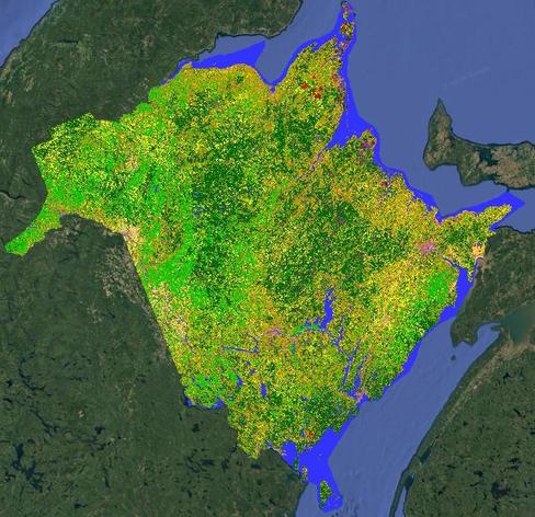
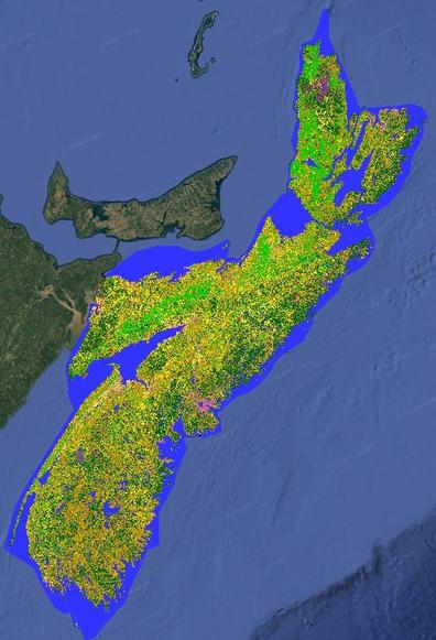
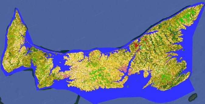
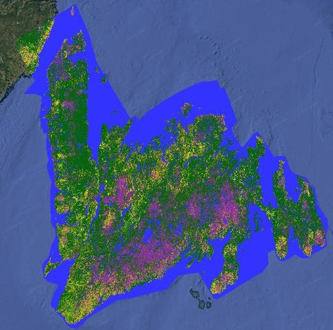
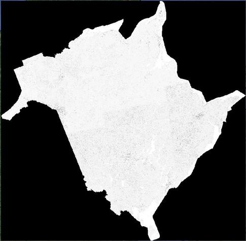
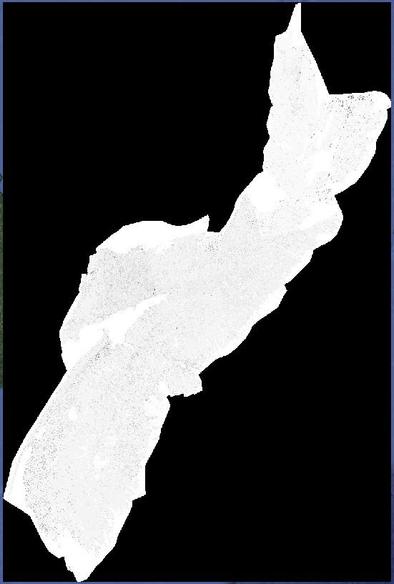
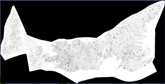
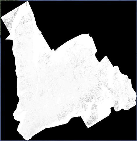
UPDATE: The provinces of New Brunswick, Nova Scotia, Prince Edward Island & Newfoundland are done & available to download. #cropmap25 #CdnAg #Landcover #RemoteSensing
https://open.canada.ca/data/en/dataset/ba2645d5-4458-414d-b196-6303ac06c1c9
Raspberry bushes at Leisure Farms in Sturgeon Falls. #cropmap25 #ontag #cdnag
Agriculture Canada's Earth Observation team driving routes for #CropMap25 are being finalized. It starts off on Monday with myself & my coworker #ZiadAly traveling through southern Ontario. #Ontag #CdnAg
En route to southern #ontag today. Will be observing fields north of Hwy 403 spending most of the afternoon in Brant & Oxford counties. #CropMap25 #DoubleCropping

#CropMap25 data collection starts Monday with a unique 3-day trip to southern Ontario

We're looking at double cropping & hoping to find examples of this (more details in the ALT)

Mon. to KW; Tues to Windsor; return to Ottawa on Wed

Aware of any double crop fields? Let me know