Do you know of @geofabrik's PostPas service?¹ It's a a simple API wrapper around PostGIS
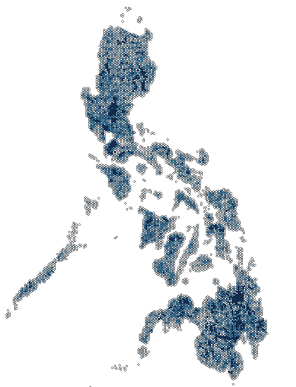
Here's a hexbin map of the #Philippines, generated with Overpass, with cells showing the total length of waterways already mapped in @openstreetmap , which we're using for our #ChasingWaterways mapping initiative, to help identify potential areas to prioritize.