Greg Hills

@winterknell
125 Followers
186 Following
6.3K Posts
Sometime traveller, misanthropic hermit, cat person, and hubby. Living in Bunurong country on the western edge of Naarm, Australia.
Web Sitehttps://winterknell.net/
Avatar"We are the river and the river is us" by Hayley Walsh, on a wall in Wanganui, NZ
BannerLeft to right: the volcanoes Ruapehu, Ngauruhoe, and Tongariro, NZ
Bunurong countryMap: https://www.bunuronglc.org/rap-map.html

Geolocating offers useful opportunities to correct errors in my photo database. Today while preparing to work on 2007, I realised that one picture I took on the Trans-Siberian, showing a train passage with a young boy playing with a green balloon -

"The passageway. Vova playing with balloon."

- actually featured Vova's son, Pasha. A photo of Vova (Вова) himself playing with a balloon would have been notable indeed.

ETA: meant to attach photos. Fixed. No geolocation.

2006 complete. GeoLocation 59.53% complete.

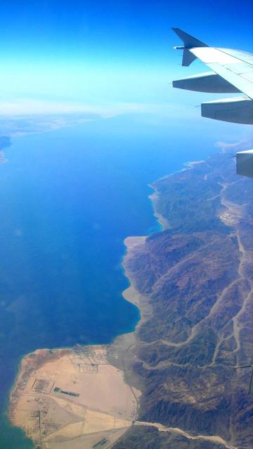
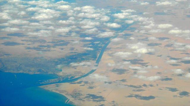
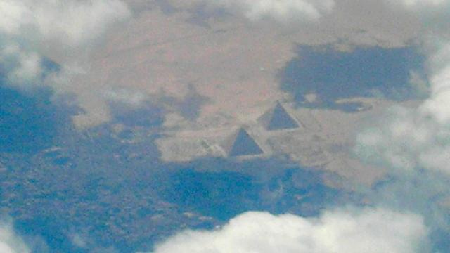
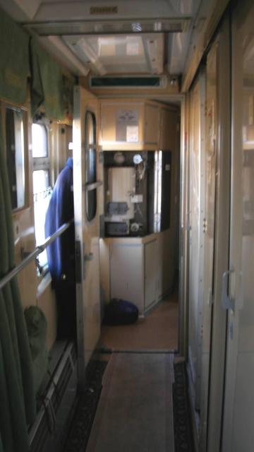
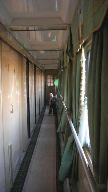
My biggest travel photo year is 2007, the first 9 months of my 10-month career break journey around Asia and Europe - north from China, west to Italy, south to Aqaba, east through Iran, finish in India. I took 1/6 of all my photos in this one year.

I geolocated 10% of them while writing Strange Roads, Part I (https://winterknell.net/travel/_trav_2007/_trav_2007_cow.html). Still leaves over 12,000 to do. Gonna take me a while.

[Rolls up sleeves]

59%. Finished with Egypt, now geolocating my 2006 Great Ocean Walk. This is really challenging, as there is no Street View and I have to rely on cross-linking clues in my photos with how long I've walked since the last good location (or how long to the next good location). My walking pace is very slow as it's all up and down and I'm carrying 20+ kg of stuff on my back. Plus, I'm often lost.

Full story here: https://winterknell.net/travel/_trav_2006/_trav_2006_gow.html

#Victoria #Bushwalk #GreatOceanWalk

Project 58% complete. Leaving St Katherine's Monastery in April 2006 after spending the night on top of Mt Sinai (Mt Musa). However, that taxi ride to Suez was cursed, so here are some pics I took of the sunrise atop the mountain instead.

#Sinai #StKatherine

Temple of Merneptah. This is simultaneously a difficult site (because effectively reduced to foundations, with few dramatic remains) and yet it's a good introduction to the layout of the giant mortuary temples around it. The most notable things are a copy of the famous "Israel" stele and a plaque in the ground showing the geolocation.

57% complete. Good progress. Today I'm working through photos from a walk on Luxor's West Bank on the 6th of April 2006. I started the day by walking to the Colossi of Memnon for the dawn, then hit the Valley of the Kings, walked over a hill to meet with Hatshepsut, explored the Tombs of the Nobles, and (after lunch) stopped by to check up on Ramses II at his Ramnesseum ("Ozymandias"). Finished the day at Merenptah's place, but I'm not there yet.

All photos my own.

After the solar eclipse, I had the tour drop me off at Mena House in Giza and started my own itinerary. I went to see the pyramids. As you do.

In other news, the project is now over 55% complete.

31st of March, 2006. Photo my own.
29°58'10.5"N 31°07'32.6"E

Our LGA is imposing a 24-hour cat curfew from next month. Rather than attempt to keep Penny inside 24 hours (a hardship for a cat who has never been confined for more than a day or two at a time) or watch her when she is out, we bought a cat condo for her that will at least let her out in the air. Over the last week I built a platform for it, then assembled the cage. The last step will be devising a secure cat-bridge from the existing cat flap into the cage.

#cat #cats #catsOfMastodon

Last stages of my flight to Egypt. Four pictures taken from the plane between 10:44 and 11:37 local time as the plane crossed the east coast of Suez, then flew on to land at Borg el-Arab airport south of Alexandria.

Pictures my own, 25 March 2006.
29°00'02.5"N 34°39'54.7"E
29°46'48.3"N 32°36'22.2"E
30°03'49.5"N 31°08'59.9"E
30°55'36.2"N 29°41'07.3"E

(Deleted & re-posted to link to the rest of the thread. Whoops.)

Optical illusion at the corner of Tory & Jessie Streets, Wellington. Obliterated by a new structure since.

The old geezer in the window looks like Albert Einstein. Leonardo Da Vinci occupies another window.

Photo my own. Wellington, 26 January 2006.
41°17'44.6"S 174°46'47.3"E