Daniel P. Huffman

@pinakographos@mapstodon.space
640 Followers
44 Following
796 Posts
An arboreal, poly, gender non-participating mapmaker and cat foster. I like to share my process, write tutorials, and otherwise informally teach cartography (with support from many of you on Patreon).
Websitehttps://somethingaboutmaps.com/
Printshttps://somethingaboutmaps.com/Storefront
Tree Climbinghttps://dryad.substack.com/
Patreonhttps://www.patreon.com/pinakographos

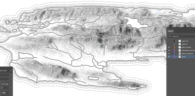
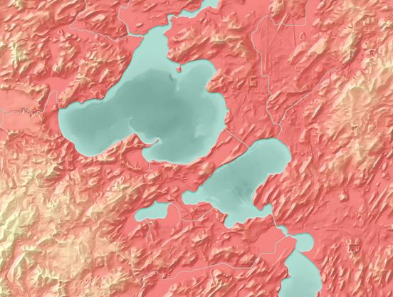
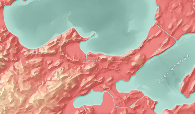
~10 months after I developed it, I'm finally starting to write up details about my oblique hachure method. It's going to be a *long* process of explanation and refining my script to be usable by others. But, I've at least started down the path. Goal is to submit a draft to Cartographic Perspectives by October.

Perhaps a surprise given how much writing (& editing) I do, but it's always a slow struggle for me, disentangling my thoughts. Sometimes a short paragraph can take me an hour.

The result: not great. Came out weirdly blurry — that's not the camera being out of focus. More work to be done to get this printed properly.

(And it was supposed to be on matte paper)

One more of these. As Congress passed a bill to rob Michigan of the Toledo Strip, Ohio added a humiliating provision that required Michigan to hold a convention to approve its dismemberment. I reconstructed the voting districts and tracked down the vote totals.

https://en.wikipedia.org/wiki/Toledo_War

Working on some Wikipedia mapping. The articles on the elected legislatures of the Michigan Territory described the districts and members (and sometimes their affiliations), but needed maps. Also tracked down some political affiliation info. Been years since I edited Wikipedia.
A lion rests in the savanna.
I live in a condo, so I thought I would be spared lawn maintenance, but I decided to get the kittens their very own patch of sod for a bit of extra enrichment.
Now begins the impatient wait for a test print, to see if this piece is done and ready for sharing.
It's a labeling day.
Decided to make all the linework a little finer.
An abandoned "Landforms of #Madison map from last year. Got stuck at the labeling stage because few of these features had names I could find. Maybe 15–20 across the whole map. The state capitol sits on a big unnamed hill. Because these features are unnamed, they are unthought of. People navigate by roads and neighborhoods, giving little thought to the rich glacial landscape and geographic history around them. Names may be arbitrary, but they create awareness. I'm half tempted to coin a bunch.