The second stretch on my journey to Treriksröset led me through mostly unmarked and first and foremost off-trail regions of the Swedish fjäll. Due to an unprecedented heat-wave this was quite some challenge at times. Water was scarce and piss warm. Which might be the reason I got some trouble with my stomach. Avoiding heat exhaustion was a struggle to say the least. But all in all this stretch was a stunning adventure that I’d not want to miss. Unspoiled nature, pristine lakes and forests. Solitude and endless beauty. I’m very, very grateful I was allowed to witness all of this.
After resupply in Storlien I headed out to make my way towards and over middagsfjället (the dinner mountain?). The trail would soon fade away and while there were still markers here and there, I was soon on my own. Eventually you make it to a somewhat eerie place where there is a gigantic, pink colored hunting lodge in the middle of nowhere, Rensjösätern, and just a few kilometers later, when I pitched my tent for the first night, thunders started to roll in. This went on for hours and left me feeling a bit uneasy, exposed and unprotected as I was.
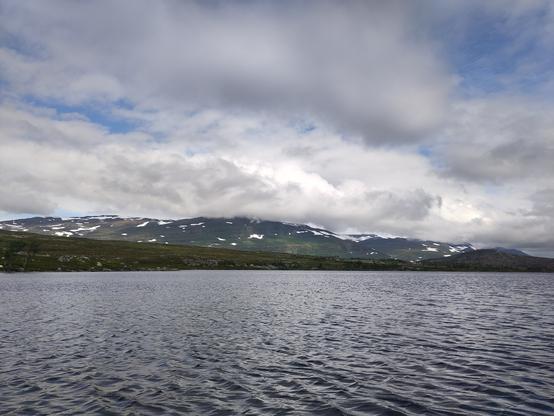
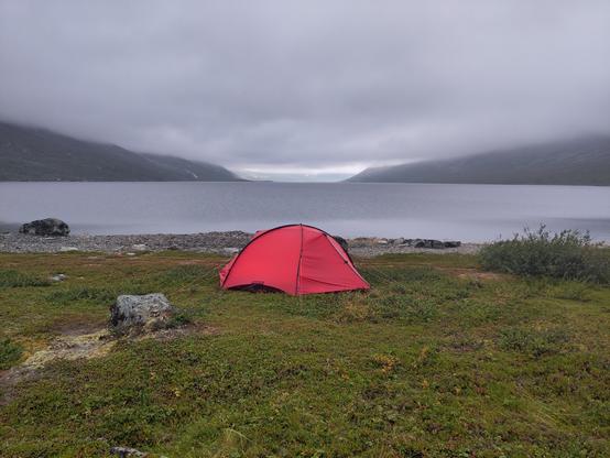
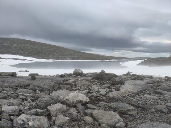
Past Medstugan you can follow an old forest road for a while until bogs and marshlands become your companion again for many many kilometers to come. Found a picture prefect tent site just before dropping down to Storrensjön that overlooked the beautiful lake and the whole area.
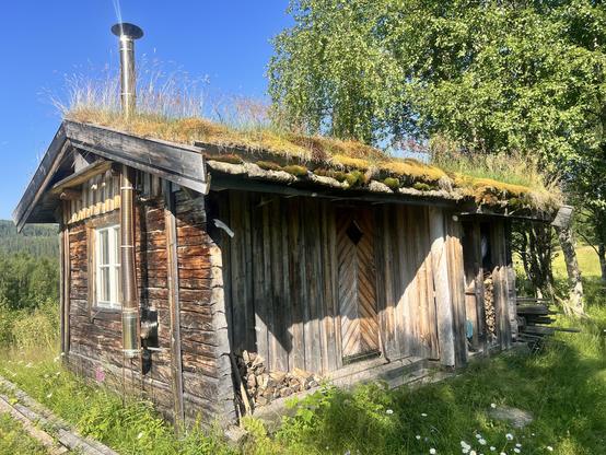
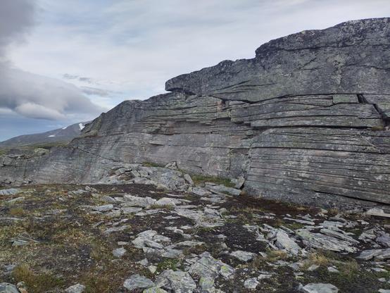
The next day looked like a lot of bogs again but was not as bad after all. Pretty, pretty old, natural forests along lake sides, a somewhat adventures climb along a gorge and finally the swamp of hell that made me decide to go all the way to Anjans fjäll station and ask for a bed to sleep there. And a shower. But most of all, luckily they had some köttbullar for me. Yumm!
Met some US hiker there and he convinced me to not take a rest day but instead have a slow one and so I set out to Skäckerfjällen and camped just before the second steep pass on this route. It was amazing. Took a swim and enjoyed the sun. Unfortunately and unexpectedly some other hike came along while I was still running around there naked as I was and I hope they will forgive me.
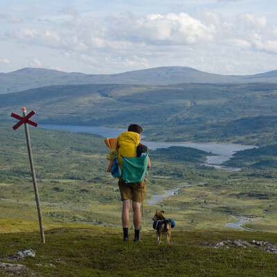
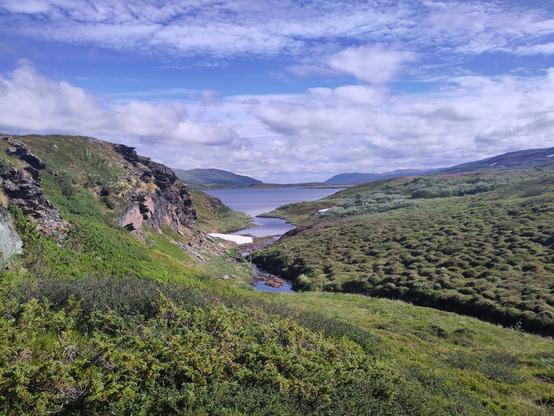
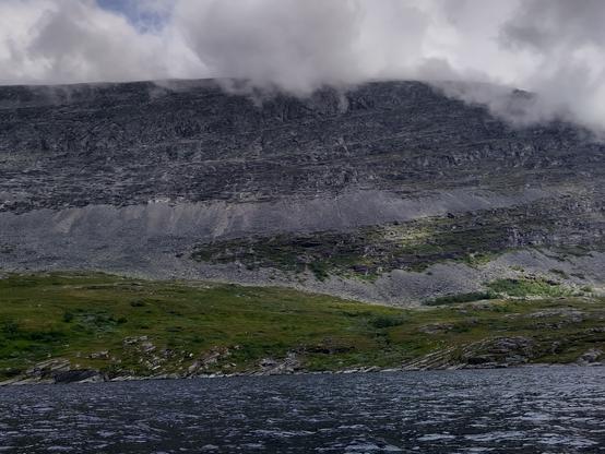
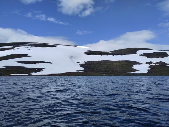
The next valley was just stunning. It reminded me a lot of the Sierra meadows Southern California is famous for. I just sat there in awe and was waiting for some bears to start dancing between the trees on the other side. But to no avail. What followed was a rather unpretentious episode of bush whacking and route finding through bogs and what not until I reached the small Sami village by Burvattnet. I decided to follow the ATV track from there but caught me swearing when sweating my way up the steep climb. Made it all the way to Gaunan where I found the best camp spot ever, just after that locked cabin there. Protected from the sun by beautiful trees, miraculously there were almost no bugs. There’s a swimming hole I took advantage of, washed my clothes and hung them up to dry.
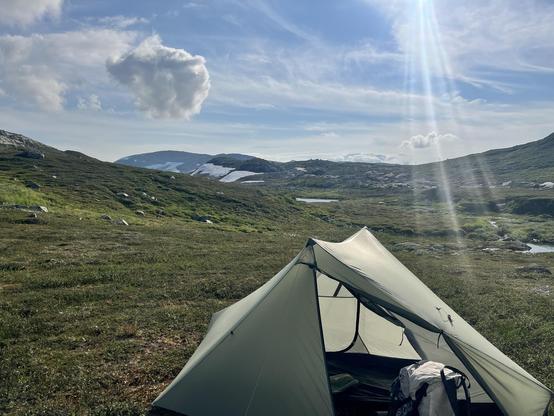
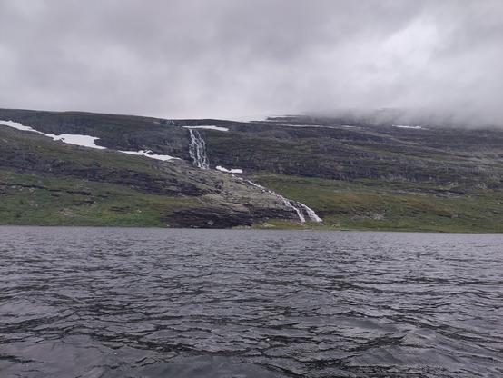
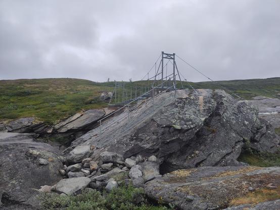
Crossing the river was a no brainer since it hadn’t rained in weeks. Making it up the mountain in that heat on the other hand took its toll. I almost fainted. The stretch over to Hösjöbäcken was like torture. Finding the ATV track to Edevik was sheer luck. I was challenging myself that day by not using my phone and relying on map and compass only. And instead of camping down by Holden I decided to continue and make my way up into Sösjöfjällen. I felt awful. Exhausted. And my stomach started to rumble. Had the worst night thanks to mosquitoes buzzing around under my fly.
The next day was just survival mode. Doing kilometers as good as it gets. One is better than none. Made it through the fjäll and made it to Tjovre. Camped near Fisklösån (the fish less river, probably a ploy to confuse strangers) amongst beautiful old trees. Next day I felt better, stronger. The climb up into Offerdalsfjällen felt easy, I even picked a harder but shorter route than planned and eventually camped just before Gubbdalen.
This was just as wet as I expected. But the idea of getting a burger in Rörvattnet kept me going. Except the restaurant there was closed. So I pushed on to Rötviken where I was lucky enough to learn that supermarket can just be opened using your phone and so I ended up with a fabulous dinner. And a rest day to top it off. Met Matthias and we talked all day.
From there I took the straight route along the Norwegian border, past Penningkaise and Murfjället. Rather uneventful, pretty. Had a lot of rain but that’s what it is sometimes.
Now enjoying another day of rest in Gäddede.
#grönaBandet #jämtland #hikingSweden #fjällvandring #mountains