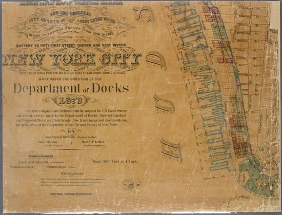
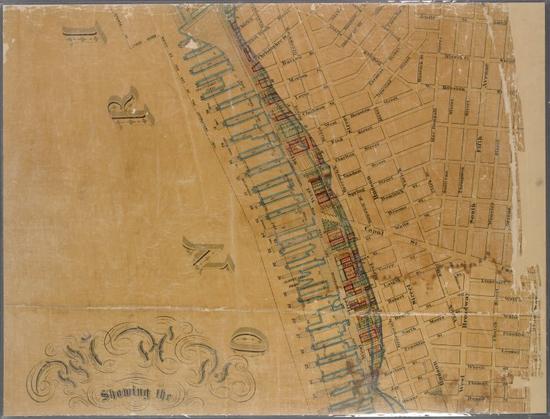
Map showing the high and low water mark and the original city grants of lands under water made to various parties from 1686 to 1873, extending from Battery to Fifty-first Street, Hudson and East Rivers, New York City, also the several pier and bulkhead lines established from 1750 to 1873 (New York City, New York)
From Digital Collections of New York Public Library
http://digitalcollections.nypl.org/items/5fd48a6d-…
#NewYork #NewYorkCity #NYC #NYPL #US #USA #history #image #photo #maps #cartography
From Digital Collections of New York Public Library
http://digitalcollections.nypl.org/items/5fd48a6d-…
#NewYork #NewYorkCity #NYC #NYPL #US #USA #history #image #photo #maps #cartography