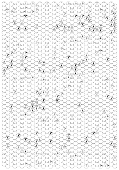
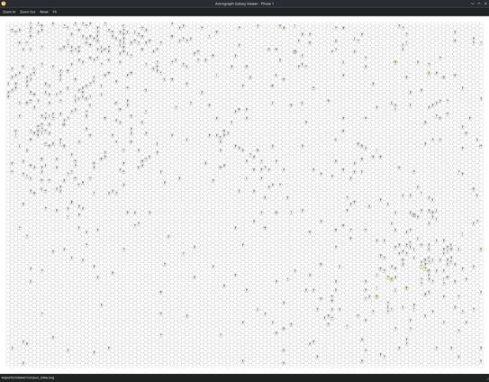
I'm building a Traveller map viewer in Python, and gotten it to a nearly useful stage!
Right now the program injects sector or subsector data in clean CSV files, renders them to SVG, and then displays the entire map corpus (currently 8 sectors) in a standalone application window, where you can pan and zoom.