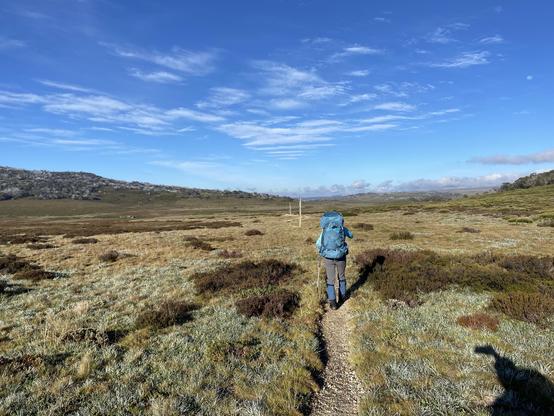
I spent the last two days hiking with @Christybon across the Bogong high plains from Cope Hut to the Fainters. Day 1 started with perfect weather as we followed the Australian Alps walking track for the first 10km. #hiking#bushwalking#Bogong 1/n
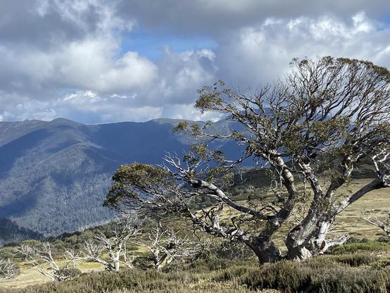
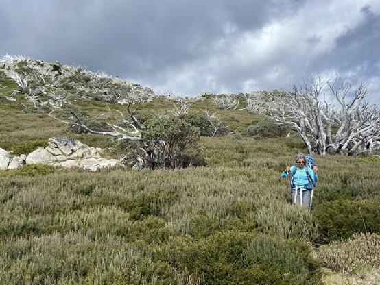
We had lunch on the first day at the summit of Mt. Jaithmathang (1852m) and then followed a set of GPS waypoints along the ridge to avoid backtracking. Without doubt the hardest bush bash I’ve ever done. Took about 3 hours to cover 4km. Certainly longer that the backtracking option but at least we earned our dinner. Rewarded with the most fantastic campsite with panoramic views at 1800m on the slopes of the Fainters. Amazing golden hour and sunset. #bushwalking#hiking#sunset 2/n
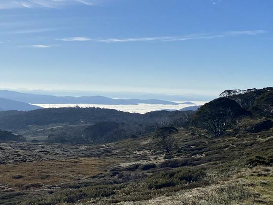
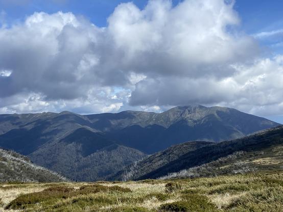
Woke up around sunrise the next day and walked to the saddle between Fainters North and South. After a beautiful sunrise, and a rainbow, the rain arrived so we returned to camp for a damp breakfast and packed up for return trip. No detour via Jaithmathang on the return, saving a few hours. A lot of the walk was in drizzle but it cleared by the end. Mt. Feathertop and the Razorback in the middle picture (with just visible rainbow). 3/n
I’d rank this among the best 2 day hikes I’ve done. We spoke to a few people along the way and heard of overcrowding at some campsites, but no one was camping out at the Fainters, which are a bit off the main hiking routes. The bush bash was definitely Type 2 fun but certainly made for an interesting and challenging day, that was ultimately capped off with the perfect campsite. 4/4
Belatedly adding this photo of @Christybon making her way through the scrub on our descent from Mt. Jaithmathang. It was like this for most of the 3 hour bush bash, except sometimes the bushes were up to @Christybon head height. #bushbash#bushwalking 5/5