🌏Who is Using Arches?

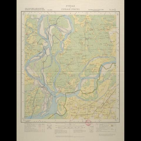
The MAHSA project is using Arches to identify & document archaeological heritage sites across India and Pakistan that may be endangered due to erosion, large-scale development, looting, and extensive irrigation agriculture.

Learn more at: https://mahsa.arch.cam.ac.uk

Funded by Arcadia & based at the McDonald Institute for Archaeological Research at the University of Cambridge, the project now provides open access to georeferenced historic Survey of India maps.

🔗 Read more about the recent additions, including how to access records with historic map data: https://bit.ly/MAHSA-blog-mar26

Explore Historic Maps of South Asia with MAHSA & Cambridge University Library

The MAHSA project is excited to announce an open access search portal for historic Survey of India (SoI) maps. In collaboration with the University Library and British Library, anyone can now enjoy 480 historic map sheets, as well as the geospatial data for 1245 maps from South Asia.