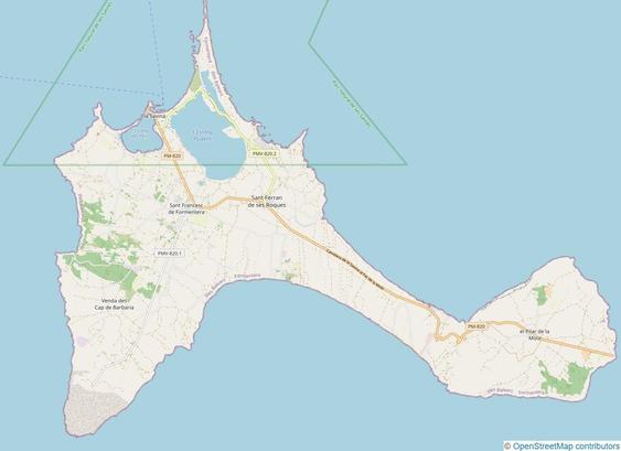
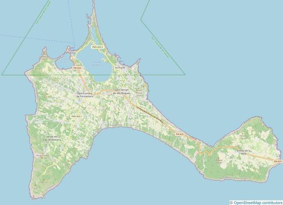
I've mapped the beautiful Spanish island of #Formentera on #OpenStreetMap. It was an exciting challenge to record street names, addresses, rural addresses, POIs, landcover and more. Formentera covers an area of approximately 83 km² (32 mi²).

Here's a #BeforeAndAfter impression:

@thefabi
Really nice 👍. How much time did you spent on this? Asking for a friend - who is currently mapping his vacation in Campania (IT) and always thinks OMG so much unmapped buildings, landuses ... focus ;)

@elgolfo @thefabi
Depending how much time and motivation your friend has, there are considerations to make such as what should be the first priority.

Typically, ground level details would be the first priority such as POIs, street names, start and end house numbers of a street, etc with the focus of being able to navigate to the location.

Afterwards from bird view these details can be extrapolated onto larger items such as buildings, highways, or land-use.