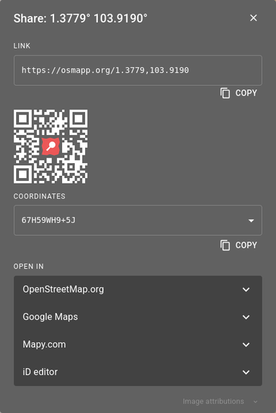
Something tells me that Google Maps introduced the "plus code" as an excuse to break compatibility with other maps like #OpenStreetMap

That "Something" is the fact that Nominatim doesn't know how to handle a plus code, and GM doesn't offer an easy lat/long pair.

hmmm.... Maybe geohack knows?

@babble_endanger
at least #osmand and #comaps can handle OLC (aka plus-code)

@babble_endanger

While it's true that OSM doesn't support OLCs, other active projects in the #OpenStreetMap ecosystem can handle those codes just fine.

My favorite would be OsmAPP: https://osmapp.org , which can read the codes, as well as share points on the map as OLCs, among other options.

OsmAPP works as a lightweight website, or an installable PWA.

@MapAmore @babble_endanger
"While it's true that OSM doesn't support OLCs, other active projects in the #OpenStreetMap ecosystem can handle those codes just fine."

That sentence doesn't make any sense at all: "OSM" IS the union of all projects in the #OpenStreetMap ecosystem.