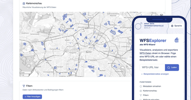
🌐 New Tool: The WFS Explorer
WFS (Web Feature Services) deliver geodata over the web — but require expert tools and knowledge.
WFS Explorer is a free, open source, browser-based tool to search, explore, and analyze WFS data — quickly
🧰 Features:
• Load any WFS via URL or try sample datasets
• Interactive map + attribute table views
• Easy filtering and attribute-based queries
• Export as GeoJSON or CSV
• Auto-converts to WGS84
• Share data via link
➡ Try it now: https://wfsexplorer.odis-berlin.de