White rock, apparently no larger than 1m but, imaged with MCZ using a 110mm zoom from ~27m away, quite noticeable.
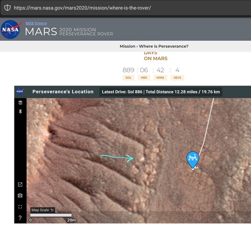
Map follows.

Processed, cropped MCZ_LEFT, FL: 110mm
Sol: 886, RMC: 43.1270, LMST: 12:16:11
Original: https://mars.nasa.gov/mars2020-raw-images/pub/ods/surface/sol/00886/ids/edr/browse/zcam/ZL0_0886_0745593786_910EBY_N0431270ZCAM08893_1100LMJ01.png
Credit: #NASA/JPL-Caltech/ASU/65dBnoise

#Perseverance #Mars2020 #Solarocks #Space #WhiteRocks

@65dBnoise mhhh cannot recall another white rock so far, can you?

@andrealuck
There have been a few more white 'stuff', one that I remember is this, captured just before the entrance of La Orotava. But this one might have been a piece of debris from the heatshield, which crashed ~1600m to the east. We never got to know from #NASA what it was.

MCZ_LEFT, FL: 110mm
Sol: 385, RMC: 14.0000, LMST: 15:30:19
Original: https://mars.nasa.gov/mars2020-raw-images/pub/ods/surface/sol/00385/ids/edr/browse/zcam/ZL0_0385_0701129701_473EBY_N0140000ZCAM08413_1100LMJ01.png
Credit: #NASA/JPL-Caltech/ASU/65dBnoise

#Perseverance #Mars2020 #Solarocks #Space #whiteRocks

@65dBnoise @andrealuck if you look at a slightly larger context, it doesn't stick out that much against other bright rocks behind it, see @NeV_T 's gigapan

https://mastodon.online/@NeV_T/110923703646175792

NeV-T (@[email protected])

Attached: 1 image PERSEVERANCE 886 Gigapan - http://gigapan.com/gigapans/233200 © NASA/JPL-Caltech/MSSS/ASU/NeV-T Facebook -------- https://www.facebook.com/nevtgigapans Gigapan Website - http://www.nev-t-gigamacros.com/

Mastodon
@sharponlooker @andrealuck
It does look quite bright to me. But if you meant to say it could be debris or something, then no, it's not, AFAICT. It's just a "white rock" :).
@65dBnoise @andrealuck debris isn't even present in the hirise images used for the location map right? They are from way earlier than the landing
@sharponlooker @andrealuck
I'm afraid I don't understand your point. I'm not saying it is debris, I called it a "white rock" in my post and thought that was clear enough. The map imagery I'm using is a blend, this file:
JEZ_hirise_soc_007_orthoMosaic_25cm_Ortho_blend120.tif
downloaded from the #USGS site as stated in the credits, where there are many more details about its creation.

@65dBnoise @andrealuck I have agreed with you all the time that it can't be debris, even your positional map earlier today had the rock visible in the hirise/DTM, which precedes the landing by a long margin 😉

https://mastodon.social/@65dBnoise/110922683668448988

@sharponlooker @andrealuck
Yes, I think the orthorectified image I use in the maps was created before landing.
@65dBnoise @andrealuck and it's the same source as the mission's site, right?

@sharponlooker @andrealuck
Not sure about whether they are the same.
Your arrow does not point to the white rock, but to a much larger one that's not so bright in the Mastcam-Z images (see image). The "white rock" is the little dot just north of it in your map. It's not easy to tell without measuring angles and sizes, that's why I included a highly magnified map above, and marked the rock with a cross.

The image is from @NeV_T gigapan https://mastodon.online/@NeV_T/110923703646175792

NeV-T (@[email protected])

Attached: 1 image PERSEVERANCE 886 Gigapan - http://gigapan.com/gigapans/233200 © NASA/JPL-Caltech/MSSS/ASU/NeV-T Facebook -------- https://www.facebook.com/nevtgigapans Gigapan Website - http://www.nev-t-gigamacros.com/

Mastodon
@65dBnoise @andrealuck you're right, my bad, I didn't zoom enough and forgot I had come to the same conclusion earlier today.