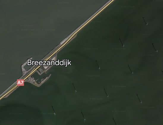
Ready for a puzzler? 🤔🧩

Tell us where this is, what we’re looking at, and anything interesting about this satellite image. We’ll share the answer at 3pm ET.
#NASAEarth

@nasa The Netherlands? Wind turbines? Used to pump water off the land? Just a guess.
@nasa My guess is an offshore wind farm.
@nasa
A windmill farm? The shadows all fall the same direction and the objects are laid out in hexagon patterns.
@nasa Looks like the frysland windfarm on the Ijsselmeer in the Netherlands.
OpenStreetMap

OpenStreetMap is a map of the world, created by people like you and free to use under an open license.

OpenStreetMap
@nasa offshore windfarm in the Netherlands
@nasa, something to do with the KM3NeT?
@nasa wind turbines in the sea?
@nasa
wiper blade on an airplane windshield