Jste milovníci map? Tak si asi přijdete na své. Česko vydalo digitální mapy pod svobodnou licencí.

@perteus Mapy nikdo neuvolňuje.
Tady jde o data.
@jachym
@perteus A FreeMap.sk uz zapracuva, vid napr. https://www.freemap.sk/#map=15/50.075430/17.158842&layers=X
@perteus A FreeMap.sk uz zapracuva, vid napr. https://www.freemap.sk/#map=15/50.075430/17.158842&layers=X

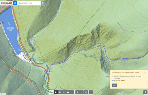
Freemap Slovakia, digital map
Detailed cycling, hiking, cross-country skiing and equestrian map of Central Europe (Slovakia, the Czech Republic, Hungary, Croatia, Slovenia, Romania, Bulgaria, Bosnia and Herzegovina, Austria, Switzerland in northern Italy and Carpathian Ruthenia). The map contains marked hiking, biking, cross-country and riding trails. It is based on the OpenStreetMap database and is therefore constantly updated. Various backgrounds such as Strava heatmap, NLC forest roads, aerial imagery, public transportation, wikipedia, photos. Functions such as search (by name or POI by category), route planning (walking, cycling, pram, trolley, ...), map annotation (drawing, points / markers on the map), measurement (distance, height, area, position), GPX records viewer, own maps, live tracking, export to or GeoJSON, PDF map export for printing. Insert a map into your own page. An alternative to maps such as hiking.sk, mapy.com or maps.google.com.
@perteus taky se chystám na ta data podívat. Už se těším, že budu mít lepší DEM data než z EU-DEM a že ortofoto nebudu mít jen online přes WMS.