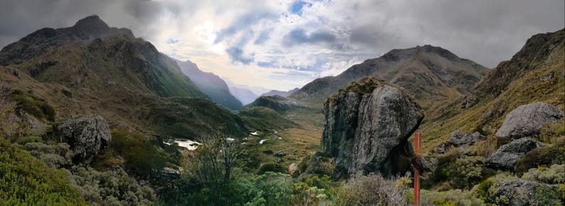
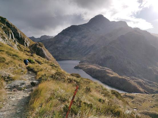
A couple weeks ago, had a great experience on what is arguably Aotearoa's most stunning #GreatWalk, the #RouteBurn... We got to know some keas and some lovely fellow trampers pretty well. And got very wet on the last day. Hanging out for the next #TrampingAdventure!
More #Routeburn photos...
For those not familiar with it, here's the tramp: https://www.topomap.co.nz/NZTopoMap?v=2&ll=-44.72366,168.17885&z=14 - thanks to the failed (due to failing web infrastructure) DOC #GreatWalk 'hut release' for the coming year last Wednesday has been postponed, so you can try your luck booking huts when they need decide to 'release' them (presumably once they've replaced their proprietary AU-based booking system suppliers. Here's hoping).
New Zealand Topographic Map - NZ Topo Map

New Zealand topographic map showing LINZ NZ Topo250 and NZ Topo50 map series. Features include: Both 1:250,000 / Topo250 and 1:50,000 / Topo50 map series; Placename, feature, map sheet and coordinate search; Printing map areas; Sharing and linking to locations; Coordinate conversion (NZTM, NZMG and WGS84); Ability to add kml and gpx (gps file format) overlays; Free Garmin Custom Map / Google Earth overlay downloads. Stewart Island and the Chatham Islands are also covered.

NZ Topo Map
@lightweight And once a year (today!), people run the 32k track in under 3 hours. https://www.routeburnclassic.co.nz/
The Routeburn Classic - Classic Adventure Trail Run in New Zealand

When booking accommodation mention that you are a part of the Routeburn Classic event to receive special rates at the Sponsor Hotels below.

@jimt yeah, it's a bit mad. Wouldn't be easy in bad weather, that's for sure.
@lightweight Went out last year (again). It is quite nice indeed! Great photos