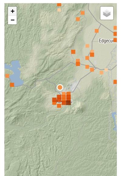
@PetraOleum This image of #Putauaki Maunga (Mount #Edgecumbe), the volcano to the east of #Kawerau is floating about. Locals claim the circled line is new. Some say it's caused by boulders careening down the slope, but that doesn't explain the lateral portions, or the apparent symmetry to the left. Flank collapse is not impossible. #eqnz https://twitter.com/PouTepou/status/1636841538302124032
@PetraOleum Indeed. Could be a red herring. The local seismometer is looking very classic seismic activity rather than magmatic or volcanic tremor so with luck any kind of eruption is unlikely.