HomeExplore
narrowbotrApr 17, 2025

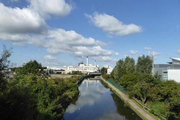
📍: Bulls Bridge Weir
ℹ️: weir
🗺: https://www.openstreetmap.org/?mlat=51.5004413694392&mlon=-0.409755138307723#map=17/51.5004413694392/-0.409755138307723
📸: Photo by Bods on Flickr https://www.flickr.com/photos/54741099@N00/22890388432

#canal #narrowboat #england #uk #flickr #london #loop #walk #hayes #grandunioncanal #londonloop #hillingdon #greaterlondon #hattoncrosstouxbridgewalk #londonloopstage7

OpenStreetMap

OpenStreetMap is a map of the world, created by people like you and free to use under an open license.

OpenStreetMap
narrowbotrMar 6, 2025

📍: Bridge 21, Bulls Bridge
ℹ️: track bridge
🗺: https://www.openstreetmap.org/?mlat=51.4999111846214&mlon=-0.406682693458287#map=17/51.4999111846214/-0.406682693458287
📸: Photo by Bods on Flickr https://www.flickr.com/photos/54741099@N00/22890388432

#canal #narrowboat #england #uk #flickr #london #loop #walk #hayes #grandunioncanal #londonloop #hillingdon #greaterlondon #hattoncrosstouxbridgewalk #londonloopstage7

OpenStreetMap

OpenStreetMap is a map of the world, created by people like you and free to use under an open license.

OpenStreetMap

Trends:

  • SilentSunday471
  • SpillTheTeaWithASong265
  • Caturday87
  • 引用で好きって言ってほしいなぁなんて23
  • 豊臣兄弟283
  • knicks191
  • KidMadeUpHolidays2
  • 日本社会はあらゆるルーツの人とともに23
  • いっしょに生きよう23
  • stopゼロプラン23