
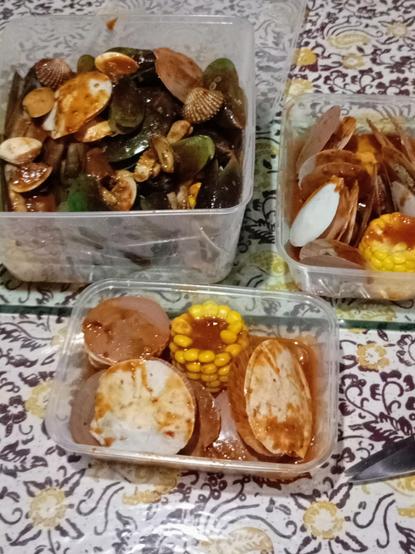
Menyala kolestrol ku
#seafood #kerang #kerangdarah #keranghijau #kerangbambu #simping #clamp #clampblood #greenmussel #ensis #scallop #indonesia #indonesianfood #cullinary
Menyala kolestrol ku
#seafood #kerang #kerangdarah #keranghijau #kerangbambu #simping #clamp #clampblood #greenmussel #ensis #scallop #indonesia #indonesianfood #cullinary
RT @CopernicusEMS: #EMSR637 #Floods in #Australia🇦🇺
Our #RapidMappingTeam has delivered its Delineation Product for the Area of Interest of #Kerang, in #Victoria, using 🛰️ radar imagery
Situation as of 19 October:
➡️A flooded area of 3,609 ha has been detected
More at👇
https://emergency.copernicus.eu/mapping/list-of-components/EMSR637
🐦🔗: https://nitter.eu/CopernicusEU/status/1583026886279540736