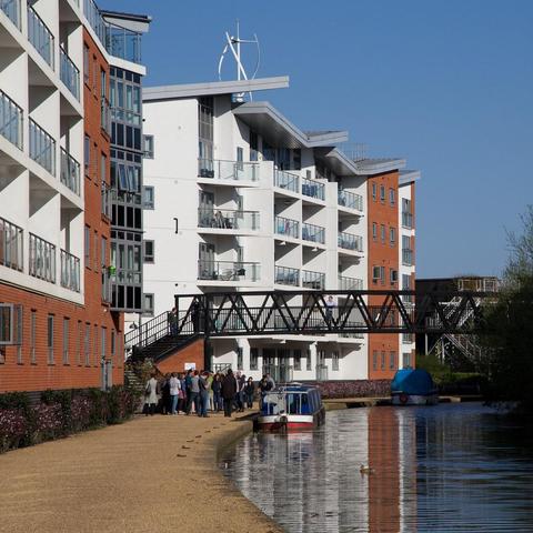
📍: Bridge 70 (Railway)
ℹ️: railway bridge
🗺: https://www.openstreetmap.org/?mlat=52.0653268248316&mlon=-0.807485378078594#map=17/52.0653268248316/-0.807485378078594
📸: Photo by itmpa on Flickr https://www.flickr.com/photos/97595808@N00/19559635013
#canal #narrowboat #england #uk #flickr #canon #square #miltonkeynes #crop #housing #cropped #mk #6d #wolverton #housingdevelopment #thegrandunioncanal #hamiltonhouse #canon6d #wolvertonpark #tomparnell #itmpa #archhist #tominmk #trevithickcourt