Rand, McNally & Co.'s Oregon. Published in 1879. https://www.davidrumsey.com/luna/servlet/detail/RUMSEY~8~1~3894~410046
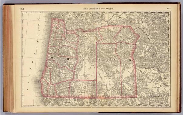
Rand, McNally & Co.'s Oregon. Published in 1879. https://www.davidrumsey.com/luna/servlet/detail/RUMSEY~8~1~3894~410046
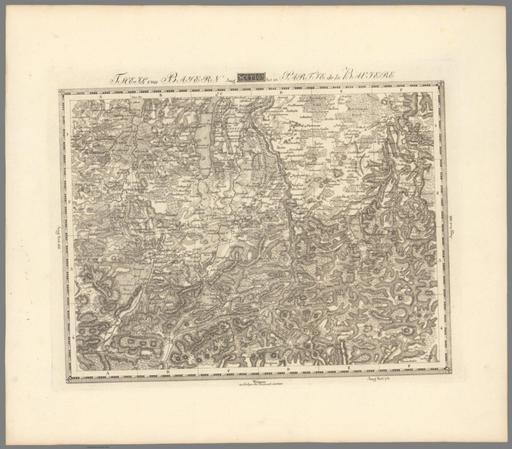
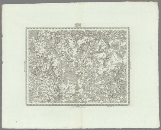
Sect. 167. Theil von Bayern = Partie de la Baviere. Weimar, im Verlage des Geographischen Institut. (to accompany) Topographisch-militairische Charte von Teutschland : in 204 Sectionen ... 1807. = Carte topographique et militaire de L'Allemagne ... 1807-1813. https://www.davidrumsey.com/luna/servlet/detail/RUMSEY~8~1~316921~90085800
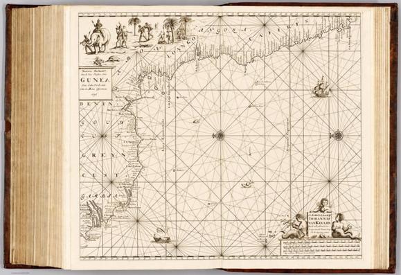
Niewe paskaart van de zee kuſten van Gunea van Cabo Verde tot Cabo de Bona Esperanca. \u2019t Amsterdam, by Iohannis van Keulen, boeck en zee kaart verkoper aande Niewe brug inde gekroonde lootsman. Met privilegie voor 15 iaaren. 1696. Published in 1689. https://www.davidrumsey.com/luna/servlet/detail/RUMSEY~8~1~375284~90142116
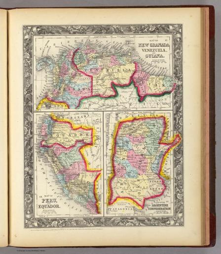
Map Of New Granada, Venezuela, And Guiana. 47. Map Of Peru, and Equador. 48. Map Of The Argentine Confederation. 49. Entered ... 1860, by S. Augustus Mitchell, Jr. ... Pennsylvania. https://www.davidrumsey.com/luna/servlet/detail/RUMSEY~8~1~2069~120067
Sect. 27. Supplement Published in 1814. https://www.davidrumsey.com/luna/servlet/detail/RUMSEY~8~1~364187~90131685
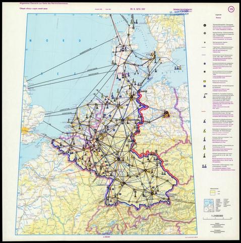
Allgemeine Übersicht zur Karte des Nachrichtennetzes = Общий обзор к Карта линий связи. Ausgabe 1989, Stand 1987. Hergestellt: Ministerium für Nationale Verteidigung, Operativer Bereich, Militärtopographischer Dienst. Herausgegeben: Ministerium für Nationale Verteidigung, Operativer Bereich. Published in 1981. https://www.davidrumsey.com/luna/servlet/detail/RUMSEY~8~1~380369~90146406
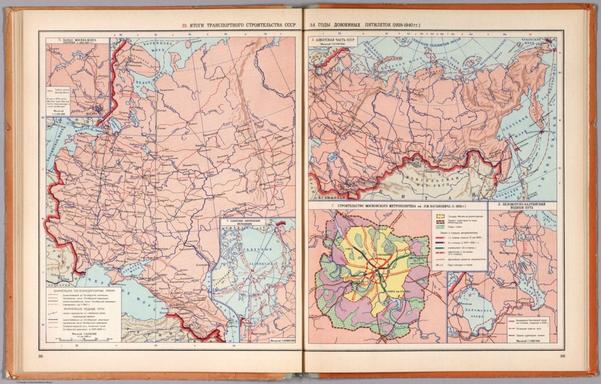
32. Itogi Transportnogo SSSR za gody Dovoennykh Piatiletok (1928-1940 gg.) (to accompany) Atlas Istorii SSSR, Cast' III. Dlia Srednei skoly. Pod Obsey Redaktsiey K.V. Azilevica, I.A. Golubcova, M.A. Zinoveva. Utverden Ministerstvom Prosvesnija RSFSR. (Published by) Glavnoe Upravlenie Geodezii i Kartografii, MVD, SSSR, 1954g. https://www.davidrumsey.com/luna/servlet/detail/RUMSEY~8~1~279890~90053167
Australia and Oceania. Pergamon World Atlas. Pergamon Press, Ltd. & P.W.N. Poland 1967. Sluzba Topograficzna W.P. Published in 1968. https://www.davidrumsey.com/luna/servlet/detail/RUMSEY~8~1~205805~3002588

Map of Kent Township. Published in 1871. https://www.davidrumsey.com/luna/servlet/detail/RUMSEY~8~1~257043~5520702

The Land of Moriah or Jerusalem and the Adjacent Country. Published in 1823. https://www.davidrumsey.com/luna/servlet/detail/RUMSEY~8~1~241832~5512800
