#BOU #COwx 248
FXUS65 KBOU 232045
AFDBOU

Area Forecast Discussion
National Weather Service Denver/Boulder CO
245 PM MDT Wed Apr 23 2025

.KEY MESSAGES...

- Increased chances for showers and thunderstorms late this
afternoon and evening, a few could be severe over the plains
southeast of Denver.

- Another round of afternoon/evening showers and thunderstorms
Thursday afternoon and evening, some of which could be severe
along and east of the urban corrido https://mesonet.agron.iastate.edu/p.php?pid=202504232045-KBOU-FXUS65-AFDBOU
IEM :: AFD from NWS BOU

AFD issued by NWS BOU at 23 Apr 2025 20:45 UTC

Current conditions for Longmont, CO:

Clouds
Temperature is 60°F
Feels like 58°F
North wind at 6 mph
Dewpoint is 39°F
Relative humidity is 45%
UV index is 5

#longmont #cowx

#BOU #COwx 451
WUUS01 KWNS 231955
PTSDY1

DAY 1 CONVECTIVE OUTLOOK AREAL OUTLINE
NWS STORM PREDICTION CENTER NORMAN OK
0254 PM CDT WED APR 23 2025

VALID TIME 232000Z - 241200Z

PROBABILISTIC OUTLOOK POINTS DAY 1

... TORNADO ...

0.02 29660260 29550322 29720360 30100380 31320401 31700365
31860279 31390202 30360147 29710160 29770227 29660260
0.02 39069893 38209992 36250009 35390071 35340136 37120200
38620181 40000102 40039991 39979902 39559863 3906989 https://www.spc.noaa.gov/products/outlook/archive/2025/day1otlk_20250423_2000.html

#BOU #COwx 645
FXUS65 KBOU 231733
AFDBOU

Area Forecast Discussion
National Weather Service Denver/Boulder CO
1133 AM MDT Wed Apr 23 2025

.KEY MESSAGES...

- Increased chances for showers and thunderstorms this afternoon
and evening, a few could be severe over the eastern plains.

- Active pattern expected for most of the forecast period, with
daily chances of afternoon and evening showers and thunderstorms.
Snow levels will remain above 9,000 ft elevation.

- https://mesonet.agron.iastate.edu/p.php?pid=202504231733-KBOU-FXUS65-AFDBOU

IEM :: AFD from NWS BOU

AFD issued by NWS BOU at 23 Apr 2025 17:33 UTC

#BOU #COwx 134
WUUS02 KWNS 231722
PTSDY2

DAY 2 CONVECTIVE OUTLOOK AREAL OUTLINE
NWS STORM PREDICTION CENTER NORMAN OK
1221 PM CDT WED APR 23 2025

VALID TIME 241200Z - 251200Z

PROBABILISTIC OUTLOOK POINTS DAY 2

... TORNADO ...

0.02 37330159 37760069 37339807 36099761 35249807 34849883
34609997 35110092 35840152 36640165 37330159
&&

... HAIL ...

0.05 28760274 30860326 33750298 35070263 35960256 36830328
37630458 38510517 40830539 41080487 4128036 https://www.spc.noaa.gov/products/outlook/archive/2025/day2otlk_20250423_1730.html

Storm Prediction Center Apr 23, 2025 1730 UTC Day 2 Convective Outlook

Severe weather, tornado, thunderstorm, fire weather, storm report, tornado watch, severe thunderstorm watch, mesoscale discussion, convective outlook products from the Storm Prediction Center.

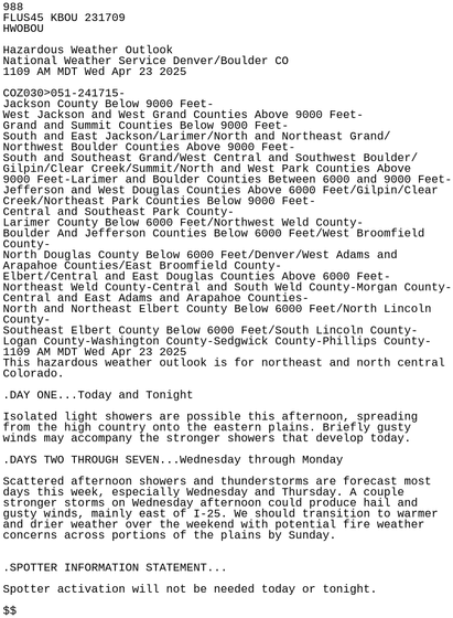
#BOU #COwx 988
FLUS45 KBOU 231709
HWOBOU

Hazardous Weather Outlook
National Weather Service Denver/Boulder CO
1109 AM MDT Wed Apr 23 2025

COZ030>051-241715-
Jackson County Below 9000 Feet-
West Jackson and West Grand Counties Above 9000 Feet-
Grand and Summit Counties Below 9000 Feet-
South and East Jackson/Larimer/North and Northeast Grand/
Northwest Boulder Counties Above 9000 Feet-
South and Southeast Grand/West Central and Southwest Boulder/
Gilpin/Clear Creek/Su https://mesonet.agron.iastate.edu/p.php?pid=202504231709-KBOU-FLUS45-HWOBOU

IEM :: HWO from NWS BOU

HWO issued by NWS BOU at 23 Apr 2025 17:09 UTC

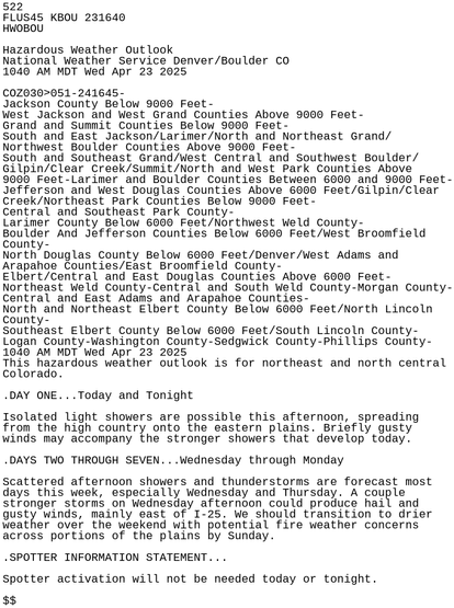
#BOU #COwx 522
FLUS45 KBOU 231640
HWOBOU

Hazardous Weather Outlook
National Weather Service Denver/Boulder CO
1040 AM MDT Wed Apr 23 2025

COZ030>051-241645-
Jackson County Below 9000 Feet-
West Jackson and West Grand Counties Above 9000 Feet-
Grand and Summit Counties Below 9000 Feet-
South and East Jackson/Larimer/North and Northeast Grand/
Northwest Boulder Counties Above 9000 Feet-
South and Southeast Grand/West Central and Southwest Boulder/
Gilpin/Clear Creek/Su https://mesonet.agron.iastate.edu/p.php?pid=202504231640-KBOU-FLUS45-HWOBOU

IEM :: HWO from NWS BOU

HWO issued by NWS BOU at 23 Apr 2025 16:40 UTC

#BOU #COwx 980
WUUS01 KWNS 231630
PTSDY1

DAY 1 CONVECTIVE OUTLOOK AREAL OUTLINE
NWS STORM PREDICTION CENTER NORMAN OK
1128 AM CDT WED APR 23 2025

VALID TIME 231630Z - 241200Z

PROBABILISTIC OUTLOOK POINTS DAY 1

... TORNADO ...

0.02 29660260 29550322 29720360 30100380 31320401 31700365
31860279 31390202 30360147 29710160 29770227 29660260
0.02 39069893 38209992 36250009 35390071 35340136 37120200
38620181 40000102 40039991 39979902 39559863 3906989 https://www.spc.noaa.gov/products/outlook/archive/2025/day1otlk_20250423_1630.html

Storm Prediction Center Apr 23, 2025 1630 UTC Day 1 Convective Outlook

Severe weather, tornado, thunderstorm, fire weather, storm report, tornado watch, severe thunderstorm watch, mesoscale discussion, convective outlook products from the Storm Prediction Center.

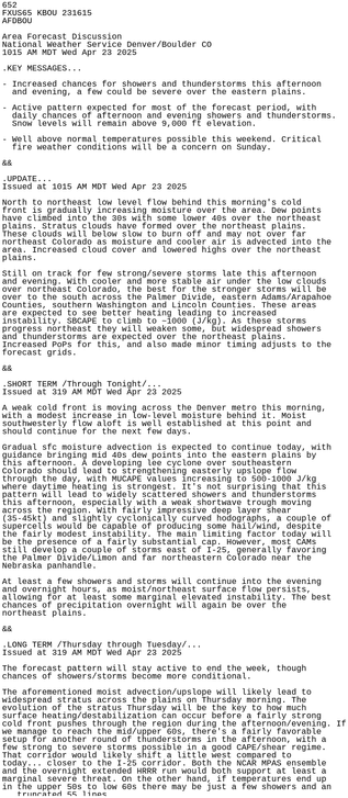
#BOU #COwx 652
FXUS65 KBOU 231615
AFDBOU

Area Forecast Discussion
National Weather Service Denver/Boulder CO
1015 AM MDT Wed Apr 23 2025

.KEY MESSAGES...

- Increased chances for showers and thunderstorms this afternoon
and evening, a few could be severe over the eastern plains.

- Active pattern expected for most of the forecast period, with
daily chances of afternoon and evening showers and thunderstorms.
Snow levels will remain above 9,000 ft elevation.

- https://mesonet.agron.iastate.edu/p.php?pid=202504231615-KBOU-FXUS65-AFDBOU

IEM :: AFD from NWS BOU

AFD issued by NWS BOU at 23 Apr 2025 16:15 UTC

Current conditions for Longmont, CO:

Clear
Temperature is 50°F
Feels like 46°F
NE wind at 9 mph
Dewpoint is 34°F
Relative humidity is 54%
UV index is 4

#longmont #cowx

×
#COwx #BOU
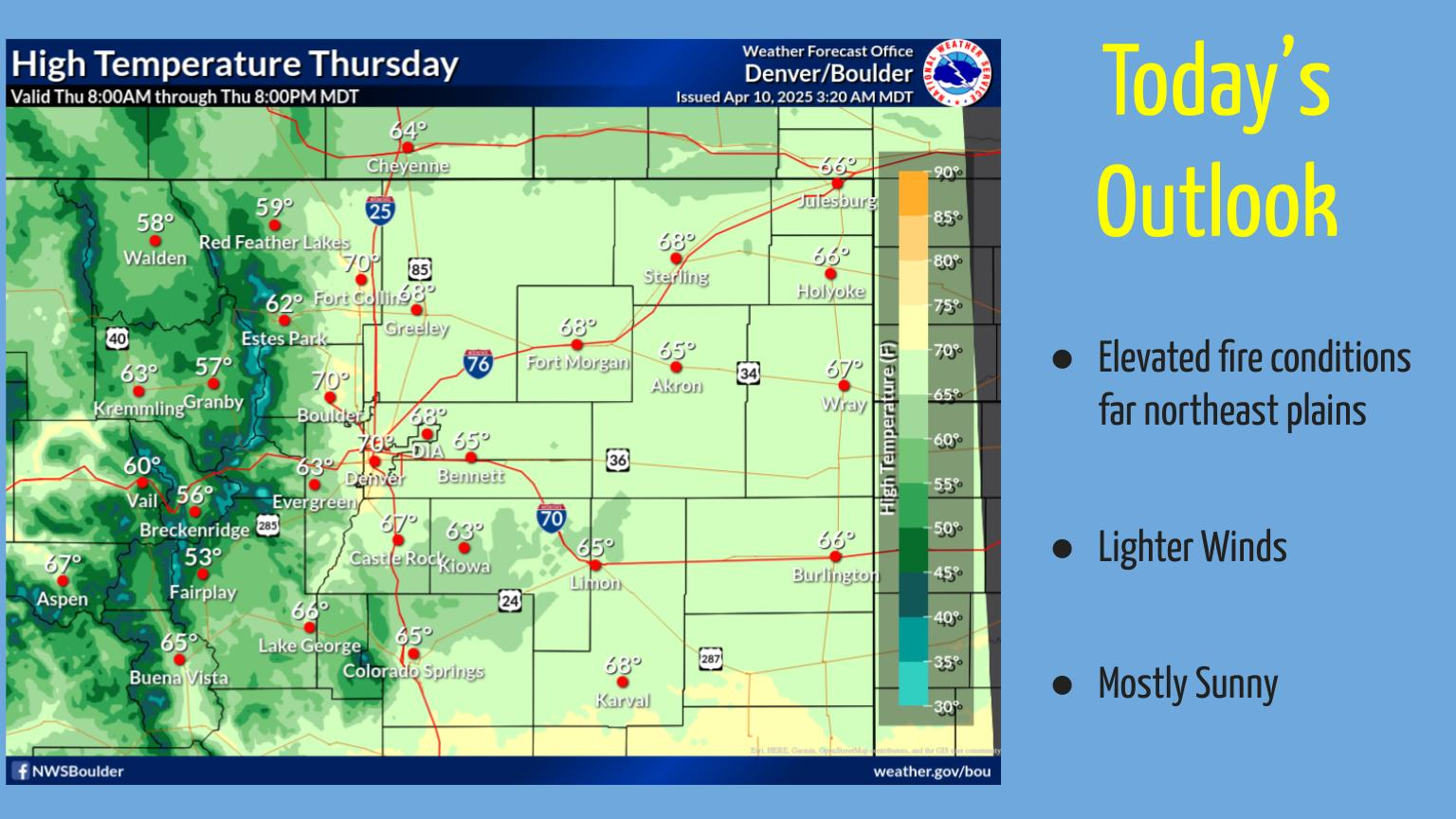
Dry and mild conditions will continue with much lighter winds. Elevated fire conditions will exist over the far northeast plains this afternoon.