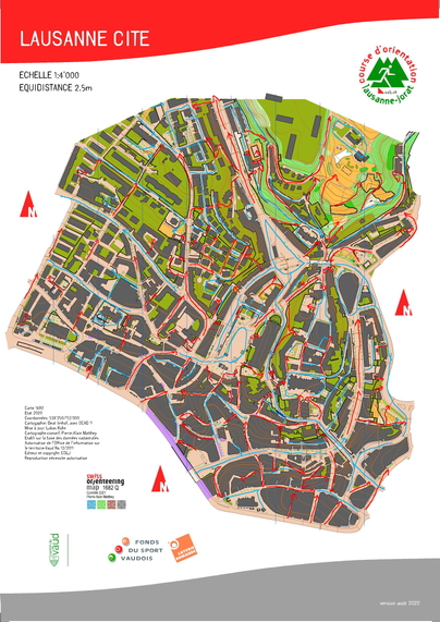
#OrienteeringMapping
#Idrefjällveckan
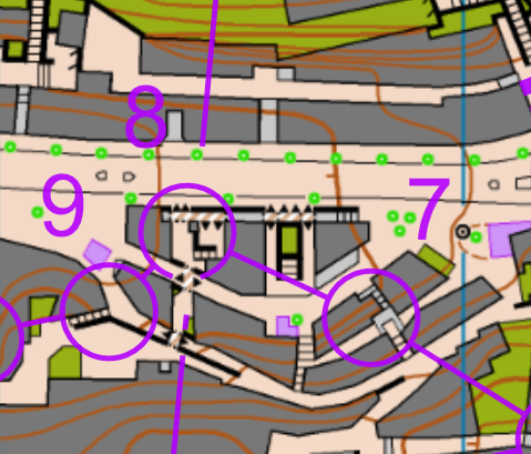
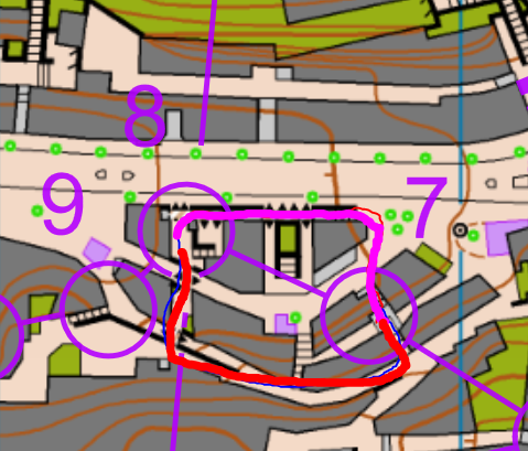
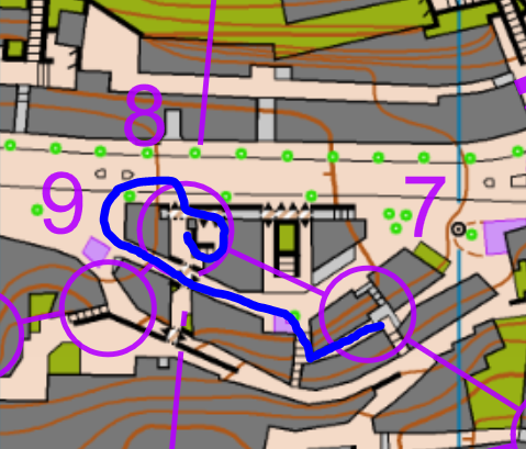
I might never become friend with the 1:7.5K. The downsides are obvious.
1) The legs fall apart into a series of details
2) The terrain is no longer depicted fairly good resp. also falls apart.
The reason for both simply is, that symobls, object density and eqidistance where optimized to fit a certain scale. Blowing everything up does not work.
[For the rest, the course and terrain were great]