AgenticEarth
An AI assistant with access to 123 geospatial datasets. It allows you to gather a wealth of information about any location on Earth and visualise the results on a map.
Free trial.
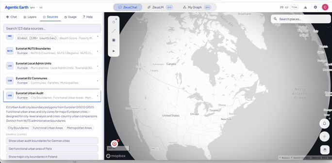
AgenticEarth
An AI assistant with access to 123 geospatial datasets. It allows you to gather a wealth of information about any location on Earth and visualise the results on a map.
Free trial.
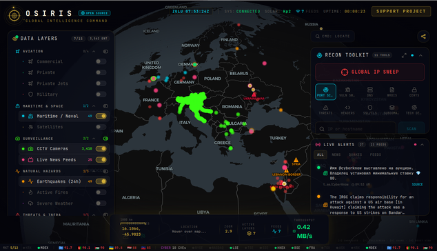
Osiris AI - la piattaforma open source di global intelligence che integra su un globo 3D interattivo dati in tempo reale su voli civili e militari, satelliti, feed telecamere (CCTV), terremoti, incendi, meteo estremo e molto altro.
Include anche diversi strumenti OSINT direttamente dal browser: Nmap, DNS lookup, WHOIS, SSL/TLS transparency, BGP/ASN lookup, threat intelligence e IP reputation.
🔗 https://osirisai.live
🔗 https://github.com/simplifaisoul/osiris
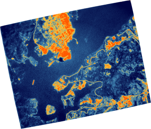
SatVu zooms in on energy facilities in Cuba, India and Australia
NGA Unveils AI Framework to Operationalize GEOINT Capabilities
The National Geospatial-Intelligence Agency is set to unveil an AI framework that will revolutionize its GEOINT capabilities, amplifying human judgment rather than replacing it. This blueprint for becoming an AI-first organization will align with the department's AI strategy, driving innovation and goal-oriented…
#ArtificialIntelligence #Geoint #NationalGeospatialintelligenceAgency #Nga #AiFramework
NGA Rapid Capabilities Office to embrace speed and risk-taking
Bringing imagery and communications under one roof
https://fed.brid.gy/r/https://spacenews.com/bringing-imagery-and-communications-under-one-roof/
Scolese puts talent at center of NRO transition as he prepares to step down
Do AI tools undermine trust in geospatial imagery?
https://fed.brid.gy/r/https://spacenews.com/do-ai-tools-undermine-trust-in-geospatial-imagery/
Extending space-enabled intelligence below the ocean surface