Satellite data map reveals 33 subglacial lakes beneath the Canadian Arctic
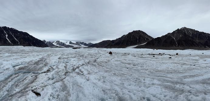
Researchers have created the first map of a network of #subglacial #lakes in the Canadian #Arctic showing 33 bodies of water under glaciers. Using a decade of #ArcticDEM satellite data of Earth's surface height, a team of researchers including the University of Waterloo has developed a method that allowed them to track the draining and filling of active subglacial lakes in unprecedented detail. The team's paper is published in The Cryosphere.
https://phys.org/news/2026-04-satellite-reveals-subglacial-lakes-beneath.html
Satellite data map reveals 33 subglacial lakes beneath the Canadian Arctic
Researchers have created the first map of a network of subglacial lakes in the Canadian Arctic showing 33 bodies of water under glaciers. Using a decade of ArcticDEM satellite data of Earth's surface height, a team of researchers including the University of Waterloo has developed a method that allowed them to track the draining and filling of active subglacial lakes in unprecedented detail. The team's paper is published in The Cryosphere.