OK day ending in 'y' &c &c &c
Trump has signed an MOU in Versailles
Here's what Heather Cox Richardson says in "Letters from an American"
https://heathercoxrichardson.substack.com/p/june-17-2026
"A senior U.S. official read the text of the fourteen-point memorandum of understanding with Iran over the phone to reporters today, and there’s a reason it has ignited a firestorm"
A memorandum of understanding is usually a nonbinding agreement outlining shared goals and intentions, but in this case, although there is much vague or confusing language in the text, what the White House says is an MOU actually has firm language in it"
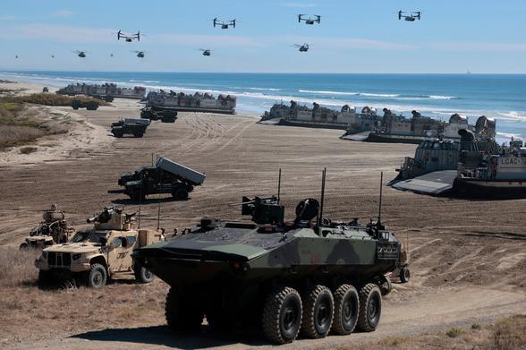
"It looks as if Trump’s war on Iran has cost the U.S. the lives of thirteen service members, injuries to 400 more, and at least $132 billion so far in immediate costs, lost income, and higher consumer costs, only to leave the U.S. in a significantly worse place with regard to Iran than before Trump started bombing"
#DonaldTrump #Trump #JDVance #PeteHegseth #MarcoRubio #MAGA #RepublicanParty #GOP #Iran #HormuzStrait