A friend of mine had to evacuate his house in #Manitoba due to the fires, and he's wondering if it's still there. I have latitude/longitude; is there any service that can get high enough resolution satellite imagery to check this? Boosts appreciated
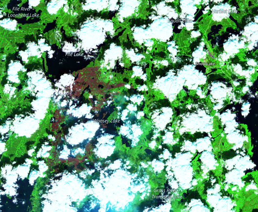
Looks like planet.com has what I'm wanting, although the free tier of data, at least, is 48 hours old. This is short-wave infrared, with the fire visible on the left.