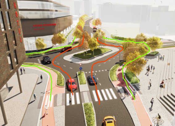
Antananarivo’s new vice mayor wonders why informal markets and transport outlast Madagascar’s governments: 'I don’t know why it hasn’t worked before.'
Stop fighting them. Learn from them. Integrate them.
Article in French:
https://www.rfi.fr/fr/afrique/20260523-madagascar-vaste-op%C3%A9ration-d-assainissement-urbain-%C3%A0-antananarivo-capitale-satur%C3%A9e-et-encombr%C3%A9e
#informaltransport #populartransport #Africa #Madagascar #cityplanning #urbanism #urbanplanner #urbanplanning #inclusiveplanning #SDG11 #TrufiAssociation
Madagascar: vaste opération d'assainissement urbain à Antananarivo, capitale saturée et encombrée
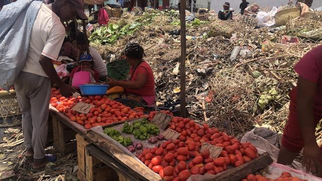
À Madagascar, la capitale, Antananarivo, lance une nouvelle opération d'assainissement urbain pour désengorger ses rues. Marchands installés sur les routes, trottoirs squattés, transports en désordre : la municipalité veut remettre de l'ordre. Mais sur le terrain, l'opération se heurte à une réalité tenace, celle des marchands informels qui n'ont nulle part où aller.