#SeaLevelRise - Map Viewer
Sea Level Rise and Coastal Flooding Impacts
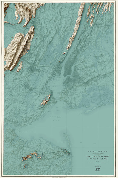
#NOAA's Sea Level Rise map viewer gives users a way to visualize community-level impacts from coastal flooding or sea level rise (up to 10 feet above average high tides). Photo simulations of how future flooding might impact local landmarks are also provided, as well as data related to water depth, connectivity, flood frequency, socio-economic vulnerability, wetland loss and migration, and mapping confidence. The viewer shows areas along the contiguous #UnitedStates coast, except for the Great Lakes."
https://www.climate.gov/maps-data/dataset/sea-level-rise-map-viewer